Subdued Rains for Mumbai: August to End With Below Normal Rainfall


Key Takeaways:
- Santacruz has recorded only 286 mm of rainfall between August 1 and 19, against the August monthly normal of 560.9 mm.
- Mumbai has not witnessed any three-digit 24-hour rainfall event so far this August, and such an event remains unlikely.
- The offshore Konkan trough is inactive, while Arabian Sea westerlies are not strong enough to trigger a fresh monsoon surge.
- Light rain with isolated moderate spells is likely, but the overall intensity and spread of rainfall will remain subdued.
- Forecast Validity: Valid through the remaining days of August 2026.
Advertisement
Advertisement
Mumbai has witnessed very poor rainfall during the last one week. Santacruz recorded just 9 mm of rainfall in the past 24 hours. The observatory has accumulated just 100 mm of rainfall during the last seven days, between 13th and 19th August 2026. The total for this month so far, between 1st and 19th August 2026, is a mere 286 mm. There has been no occurrence of three-digit rainfall in 24 hours as of now, and such an occurrence is not likely either. Normal monthly rainfall for August stands at 560.9 mm. No heavy rainfall is anticipated during the remainder of this month for Mumbai and the suburbs.
Last year, Mumbai had witnessed a deluge on more than one occasion in the month of August. The city had received over 200 mm of rainfall in 24 hours on three days. The month of August itself had recorded nearly double the normal rainfall. The good thing is that July this year was one of the rainiest months. The city had recorded 1485 mm of rainfall against the monthly normal of 919.9 mm. Together, July and August have crossed the average rainfall by a big margin. However, the remaining days of August will observe subdued activity, and typical Mumbai monsoon rainfall is unlikely.
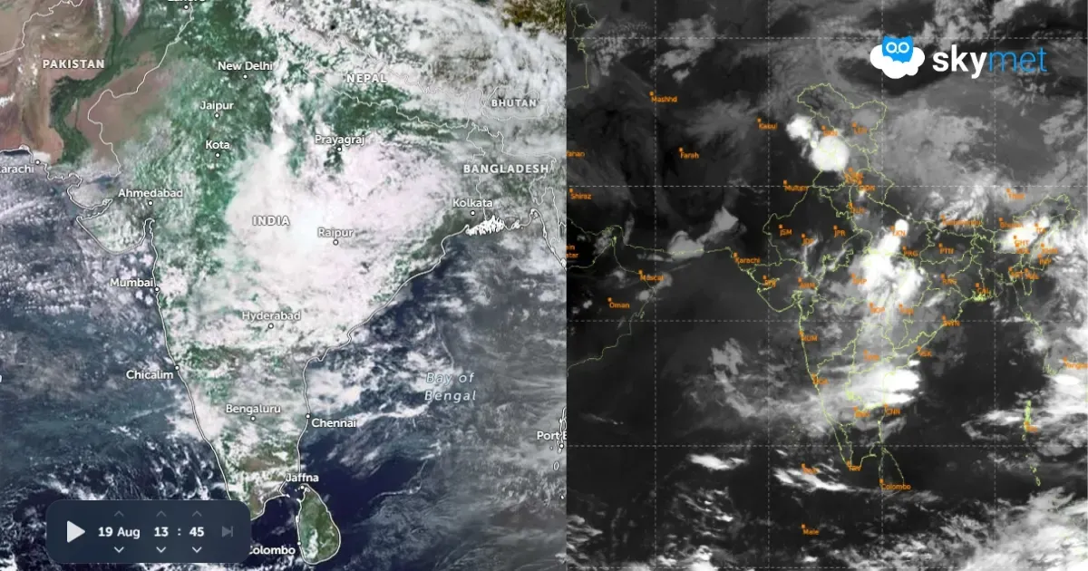
The main triggers for the active monsoon over Mumbai are the offshore north-south trough along the Konkan Coast and a Monsoon Low/Depression forming over the Bay of Bengal. The trough is completely inactive and, at best, can give light showers. The westerly stream from the Arabian Sea is also not strong enough to stimulate heavy rainfall. Of late, the Bay of Bengal systems have been following a varied track. Against the normal route through the central parts, across Maharashtra and Madhya Pradesh, these systems have a tendency to move across Jharkhand and East Uttar Pradesh and go along the foothills of Nepal. This track does not favour heavy rainfall along the Western Ghats, including Konkan.
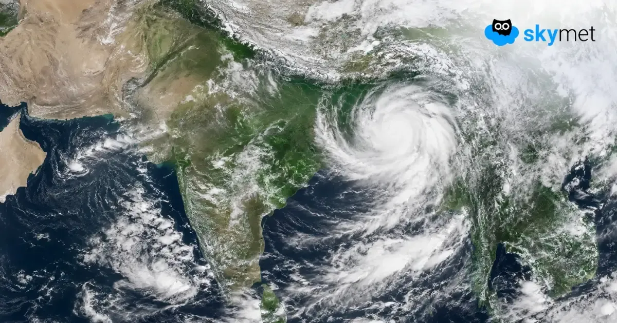
Presently, there is a monsoon depression positioned over North Jharkhand and adjoining Southwest Bihar. It is likely to move west-northwest and get placed over North Chhattisgarh and Southeast Uttar Pradesh. It is expected to weaken into a low-pressure area over that region. The weakening of the system will fail to initiate any fresh monsoon surge from the Arabian Sea. Light rainfall, with isolated moderate rainfall patches, is likely during this week and even beyond. Overall, the intensity and spread of rainfall will remain poor and, therefore, will be unable to catch up with the normal rainfall for the month.