

Depression Over Jharkhand-Bihar: Heavy Rainfall Over Eastern Parts

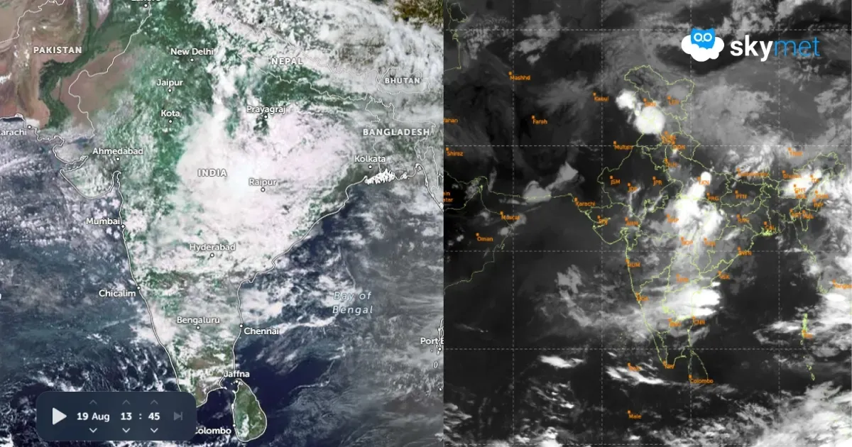
Key Takeaways:
- The monsoon depression over Bihar and Jharkhand is expected to move northwestward and weaken into a low-pressure area shortly.
- Heavy rainfall will initially focus around the Uttar Pradesh-Madhya Pradesh-Chhattisgarh tri-junction before spreading across East and Central India.
- Moderate to heavy rainfall is expected over Uttar Pradesh, Bihar, Jharkhand, Madhya Pradesh and Odisha during the next 4-5 days.
- Rajasthan, Gujarat, West Madhya Pradesh, most of Maharashtra and large parts of South India will experience weak monsoon activity during the remaining days of August.
- Forecast Validity: Next 4 to 5 days.
Advertisement
The monsoon depression over Jharkhand and Chhattisgarh moved northwestward and is now located over parts of Bihar and Jharkhand. It is centred between Gaya (Bihar) and Daltonganj (Jharkhand). The system will move northwestward over East Uttar Pradesh and adjoining Bihar and weaken into a low-pressure area shortly. The weakened weather system, along with its cyclonic circulation, is likely to meander over that area, with minor east-west shifts. Active monsoon conditions are likely over Bihar, Jharkhand, Uttar Pradesh, Chhattisgarh and East Madhya Pradesh.
Advertisement
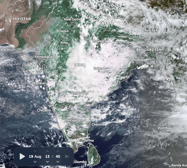
Heavy rainfall will be more focused over the tri-junction area of Uttar Pradesh, Madhya Pradesh and Chhattisgarh today and tomorrow. The spread will increase further to cover Uttar Pradesh, Bihar, Jharkhand, Madhya Pradesh and Odisha. Moderate to heavy rainfall is expected over these parts for the next 4-5 days. After 26th August, the rains will start vacating Uttar Pradesh, Madhya Pradesh and Chhattisgarh. The weather activity will continue over Bihar, Jharkhand, Odisha and West Bengal.
The monsoon systems are likely to move along the eastern half of the Indo-Gangetic Plains, covering West Bengal, Jharkhand and Bihar. The western end of the monsoon trough will stay north of its normal position and remain in proximity to the foothills of West Uttar Pradesh, Uttarakhand and Himachal Pradesh. These pockets are expected to have heavy rainfall during this week and recede thereafter from the plains and mountains of North India.
Rajasthan, Gujarat, West Madhya Pradesh and most parts of Maharashtra will witness weak rainfall activity during the remaining days of August. The South Peninsula will also have very little rainfall across the states of Andhra Pradesh, Telangana, Karnataka and Tamil Nadu. However, small pockets of extreme North Tamil Nadu and South Coastal Andhra Pradesh will witness scattered rain and thundershowers. Kerala and Coastal Karnataka will also have a decent spread of rain and thundershowers. Barring these two pockets, monsoon activity will remain lean and thin over the South Peninsula.
Trending:



