Gale Speed Winds-Dust Storm Likely Over Delhi: Mercury Drop Likely


Representational Image: AI-Skymet
Key Takeaways:
- Pusa recorded wind speeds of 128 kmph, the strongest observed in Delhi/NCR in more than two decades.
- Multiple weather systems are supporting thunderstorm and dust storm activity across Delhi/NCR until June 13.
- Maximum temperatures are expected to remain below 40°C due to enhanced cloud cover and gusty winds.
- Weather conditions are likely to improve gradually from Sunday onward with longer dry spells.
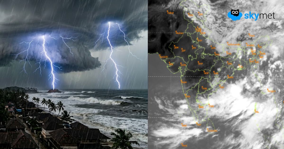
Strong whistling winds lashed many parts of Delhi/NCR on Tuesday evening and night. While Airport Palam recorded winds of the order of 120 kmph, weather station Pusa registered a roaring wind speed of 128 kmph. Earlier, Palam had recorded winds of similar intensity in June 2001, but 128 kmph is a new record over the last two decades. The capital city has a record of 147 kmph in May 1991 and 145 kmph in 1989. In the last one decade, Safdarjung and Palam have the respective records of 107 kmph and 95 kmph, observed on 13 May 2018. On this day, a severe trail of dust storm had struck parts of Rajasthan, Haryana, West Uttar Pradesh and Delhi/NCR, killing more than 40 people. The severe storm was accompanied by deafening thunder, blinding dust and hazardous hailstorm.
Multiple weather systems are acting in tandem to trigger thunderstorm-dust storm activity over Delhi/NCR for the next three days, between 11th and 13th June 2026. There is a cyclonic circulation over Rajasthan and Central Pakistan, an east-west trough across Haryana, Delhi and West Uttar Pradesh, and a closed air bubble over Central Uttar Pradesh. In addition, a Western Disturbance has arrived over the mountains, supplementing the trio. North-South oscillation of the trough will increase the spatial coverage of weather activity.
There were tall convective clouds this morning, but at a safe distance to the north of Delhi. Darkish clouds, strong winds and distant thunder did bother the aeroplanes for some time, but drifted away rather quickly. In the wake of this system, the winds have become stronger and temperatures have dropped. The maximum temperature may get arrested below 40°C today, as compared to 42°C-44°C of the last two days. The weather activity will start afresh a little late in the evening and carry on till late night. A 'break' from the stormy conditions is likely by forenoon tomorrow, but thunderstorm-dust storm activity may arrive again during the night. With improved weather conditions during the daytime on 13th June, the temperature may rise a bit to about 36°C. Yet another spell of thunderstorm is expected on Saturday evening/night. Better weather conditions, and for a longer duration too, are likely on Sunday and Monday.