°C
Current temperature
5:30 AM, Jan 01, 1970Hourly
7 Days
15 Days

Weather buddy
Over the next 15 days, expect a warming trend to begin around day 3 with temperatures rising from an average of approximately 29.0°C towards higher levels, peaking at about 40-42°C by midweek (around days 15 and 16). A short heat wave period is expected starting on June 15th when the daily highs could reach up to around 31.8°C with no rain in sight; this will last until June 17th, before temperatures start to drop slightly towards the end of the forecast window. Despite some thunderst transformer: Certainly! Here's a user-friendly weather description based on the provided data: "Get ready for a gradual rise in temperature starting from around day 3, with midweek hitting its warmest levels averaging between 31.8°C to 42.0°C amidst mostly cloudy skies and minimal rainfall (6-17mm total). The first heat wave of the month will grace us from June 15th to June 17th, with temperatures not dipping below a sizzling high of approximately 31.8°C daily on average - no rain expected during this time. Although we don't anticipate any severe scorchers (temperatures soaring over 45°C), do stay cool and hydrated!"


Rainfall probability

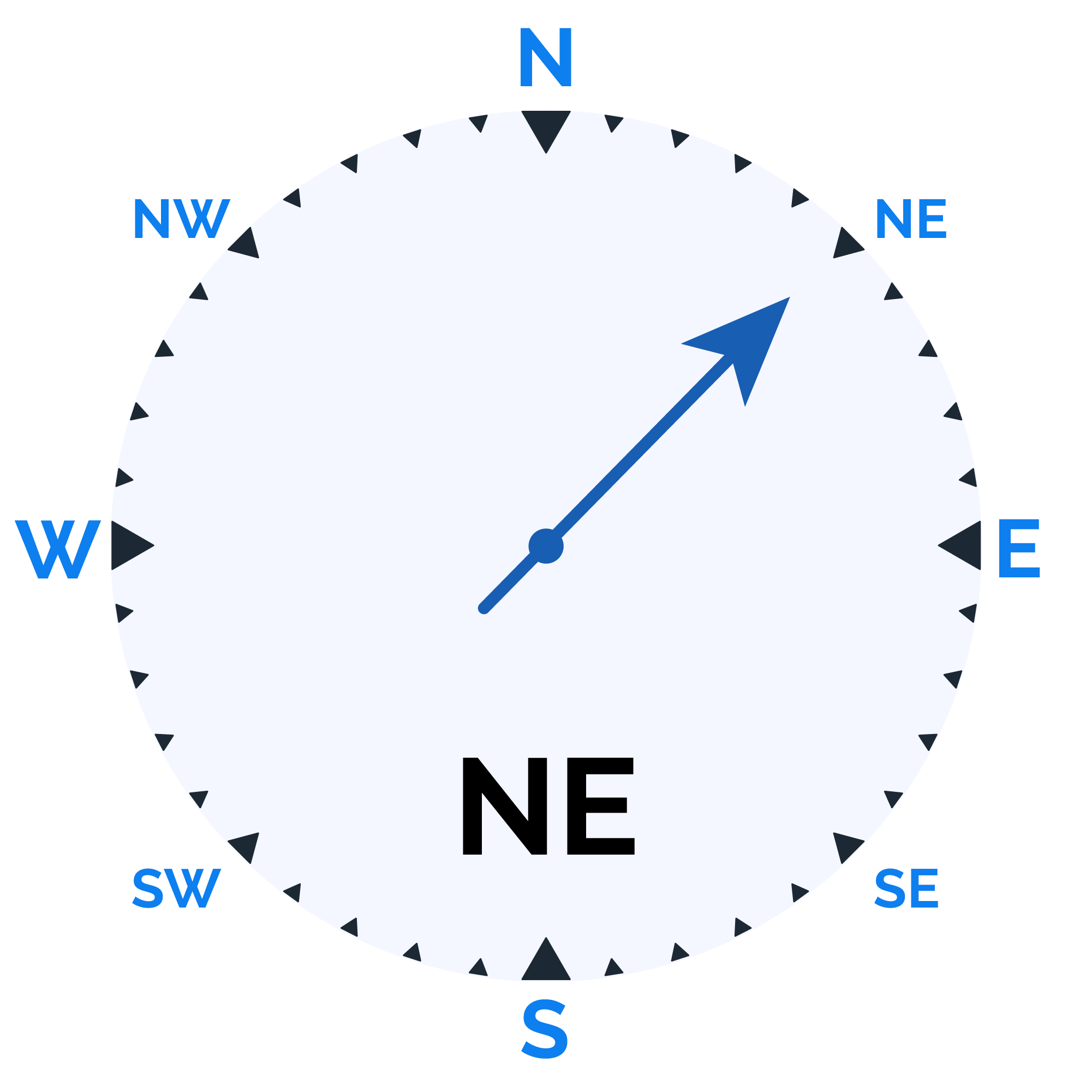
Wind speed


Humidity
Sunrise/Sunset

Moonrise/Moonset


Weather buddy
The day will start with a high temperature ranging from 28°C to 34°C, accompanied by humidity levels between 74% and 96%. Early morning thunderstorms are expected due to minimal cloud cover. As the evening approaches, temperatures may rise slightly between 31°C and 36°C with reduced humidity of 62% to 81%, under partly cloudy skies. Nighttime brings a cooler range of 27°C to 30°C, higher humidity from 83% to 97%, and the chance for light rain at around 2 mm with persistent thunderstorm conditions.
 Temp (Min/Max)
CLOUDY Humidity
36%
 Dew Point
28°C
Highly Humid
 Wind speed
12 km/h
Wind Speed