
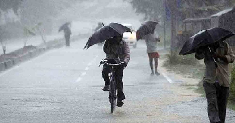
Unseasonal rains lashed Vidarbha, East Madhya Pradesh and Odisha in the past 24 hours. Moderate winter showers were witnessed over Wardha, Gondia, Bramhapuri, Malanjkhand, Seoni, Bolangir and Angul. Light rains were recorded at many other places in these states. Parts of Chhattisgarh also experienced scattered rains. Rain and thundershowers are likely to meander over central and eastern parts of the country, albeit with an eastward shift, for the next 3 days.
Two unusual and unseasonal features have appeared in the lower levels of the atmosphere, causing this untimely weather activity. Firstly, the semi-permanent seasonal anticyclone has been shifted far to the east over the western parts of the Bay of Bengal and the coastline. Secondly, a fairly broad cyclonic circulation has appeared over the tri-junction of Gujarat, Madhya Pradesh and Maharashtra. Between these two opposing airflows, an east-west trough leading to a convergence zone is marked extending from Madhya Pradesh to West Bengal, cutting across Chhattisgarh, Jharkhand and Odisha. Intermittent fleeting winter showers are expected under its influence covering central and eastern states for the next about 3 days.
The least weather activity is expected today over Northeast Madhya Pradesh, North Chhattisgarh and Northwest Jharkhand. The weather belt will expand tomorrow covering Uttar Pradesh, Jharkhand and Bihar. Some parts of Northeast Madhya Pradesh and extreme North Bengal will also have mild activity. On 14 Feb, the spread will increase further, albeit with lesser intensity, reaching parts of Uttar Pradesh, Jharkhand, Bihar and West Bengal. Remnant of the system will have mild weather activity on 15thFeb in a limited area of Gangetic West Bengal and bordering North Odisha.
Weather activity will not be hefty on any of these days, except on 13thFeb, wherein Southeast Uttar Pradesh and extreme western parts of Bihar may experience rain and thundershowers. Varanasi, Azamgarh, Ghazipur, Mirzapur, Balia, Buxar, Bhojpur, Rohtas, Aurangabad, Patna and Gaya will witness moderate thunderstorms with lightening and gusty strong surface winds. Broad clearance over the entire region can be expected on 16thFeb and even later, as well.
Image Credit: zeenews


