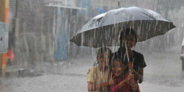
 As predicted, heavy to very heavy Monsoon rains have battered many parts of West Madhya Pradesh during the last 24 hours. Rest of the areas have also recorded light to moderate rains.
In span of 24 hours from 8:30 am on Thursday,Ratlamrecorded 107 mm of rain, Hoshangabad 78 mm,Ujjain70 mm,Indore54 mm, Dhar 52 mm, Khandwa 41 mm,Bhopal33 mm, Betul 30 mm, Raisen 30 mm, Gondia 16 mm, Sagar 9 mm, and Khargone 9 mm.
[yuzo_related]
All thanks to the well-marked low pressure area over Central and North Madhya Pradesh.
The system had developed over East Madhya Pradesh, initially giving rains over places such as Rewa and Satna. Thereafter, it got further intensified into a well-marked low pressure area and moved into west direction.
Now also, cloud configuration and atmospheric conditions are indicating towards its further intensification into a depression during the next 24 hours. However, by this time, the system would have shifted over Gujarat region.
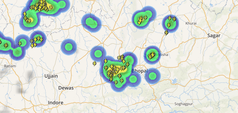 Check the live status of lightning and rain across Madhya Pradesh
With this, heavy to very heavy rains are expected to continue over southwestern districts of Madhya Pradesh for at least next 24 hours. Norther districts such as Gwalior, Guna, Shivpuri, Morena, Bhind and Tikamgarh will have mainly dry weather.
Thereafter, as the system moves away, we can expect significant decrease in rainfall over entire state but scattered rain will continue.
Due to these rains, Madhya Pradesh has been recording normal Monsoon rains, wherein the state has recorded 227.9 mm of rains against the normal average rain of 240.4 mm from June 1 to July 13.
Image credit: Indian Express
Any information taken from here should be credited to skymetweather.com


