Rainy Spell Continue Ahead Of Weekend For Delhi: Morning Chill Returns

Representational Image: AI-Skymet
Key Takeaways:
- Light to moderate rain lashed Delhi/NCR; more activity likely over the next 48 hours.
- Evening and night thunderstorms with lightning and strong winds expected.
- Rainfall may reach near-normal March levels (19.1 mm).
- Day temperatures to drop to mid-20s; mornings to feel cooler with stronger winds.
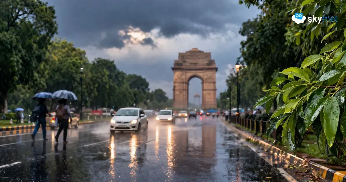
Weather conditions have taken a U-turn for the national capital. From dry weather heat earlier during the first half of the month, typical pleasant conditions of March have returned yet again. Light to moderate widespread rains lashed Delhi/NCR starting last evening. Conditions are favourable for the continuation of weather activity today and tomorrow, with a break thereafter. The leftover effect may cause a light sprinkle on Monday morning for a brief duration.
The base station Safdarjung recorded 8 mm rainfall till 8:30 a.m., and the airport Palam registered about 6 mm. Different parts of Delhi/NCR recorded similar figures of rainfall, and Pusa observatory recorded the highest with 11 mm. Light rainfall is continuing in some parts but is likely to cease in the forenoon hours itself, before resuming in the evening. Delhi has a normal of about 19.1 mm rainfall for the month of March. With some more rains during the next 48 hours, it may reach the mark easily.
Multiple factors have joined hands to cause widespread weather activity over the plains of North India, including Delhi. There is an active Western Disturbance over Jammu & Kashmir, supported by a cyclonic circulation. A westerly trough in the higher levels is positioned favourably in the rear of the system. Over the plains, there is a cyclonic circulation over Haryana and North Rajasthan in the lower levels. An east-west trough is running from this feature and extending up to central parts of Uttar Pradesh, keeping proximity with Delhi. All these systems acting as a team are working in tandem to generate synergy and increase the spread of weather activity. The entire salvo of these systems will slowly move eastward and shift the weather activity along with it.
For Delhi, there will be a break in rainfall activity during late afternoon and early evening hours. However, clouds are likely to gather once again in the evening to restart the weather activity. The action will start in the neighbouring areas a little earlier. The Delhi region will have rain and thundershowers anytime after 6 p.m. and continue through the night. Intensity will increase at night, and the showers will be accompanied by thunderstorms, lightning, and strong winds. The weather activity will continue tomorrow morning and is likely to ease out around noon hours.
The day temperature is likely to dip to the mid-20s during the next two days, with a gradual rise thereafter. Minimum temperatures will also drop to remain in the mid-teens for the next 4–5 days. In the wake of the system, wind speed will increase, raising the chill factor, more significantly during the morning hours.