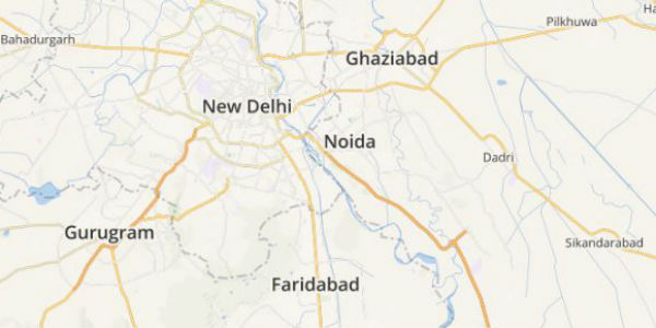
Delhiites were waiting for some good spells to show up in the city from a couple of days. On the contrary, Delhi rains were playing the game of hide and seek and even after showing cloudy weather, heavy rains remained far from lashing.
In fact, a few parts of the national capital and the adjoiningNoida, Gurugram,Ghaziabad, Faridabad did receive some spells yesterday but these traces of rain were highly localized and short lived but were intense at a few places. Thunderclouds were hovering over the city since early Monday morning, with rains following soon.
In the last 24 hours from 08:30 am on Monday, the Safdarjung Observatory recorded 21.7 mm of rains, Ridge Observatory recorded 37.3 mm of rains while only 4 mm of rainy traces were observed by the Palam Observatory.
[yuzo_related]
As per Skymet Weather, these rains were due to localized cloud development which is why torrential rains spreading across Delhi-NCR were not seen and were mainly patchy in nature.
Click the image above to see the live lightning and thunderstorm across Delhi-NCR
The weathermen at Skymet Weather further foresees similar weather pattern to continue as the trough of low which is at present passing from North Rajasthan to the Bay of Bengal across Central India is likely to move towards North Delhi and NCR.
Thus, the situation is conducive for similar weather to prevail. Cloudy weather is likely to persist overDelhiand NCR but like yesterday’s fall, the rains will be patchy in nature and will be short-lived covering shorter areas. However, these rains will help in reducing the ongoing humid and sultry weather. The intensity of rains is likely to increase by July 20. On and off rains will continue until July 23.
ImageCredit: OutlookIndia
Any information taken from here should be credited to skymetweather.com


