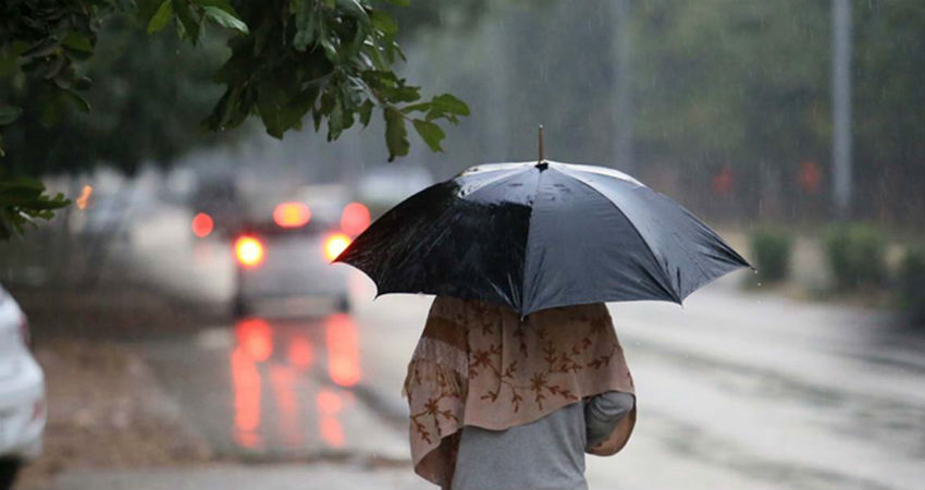
During the last 24 hours, Northwest India particularly many parts of Punjab, Haryana, Delhi and NCR and Uttar Pradesh receivedfairly widespread rain and thundershowers. One or two places also received hailstorms.
During the last 24 hours, while Ambala received 23 mm rains, Hisar 38 mm, Sri Ganganagar 8 mm and Fursatganj recorded 6 mm rains. Even the national capital New Delhi recorded a good 22 mm rains during the last 24 hours.
However, we expect light to moderate showers to continue over the northern districts of Punjab and Haryana today as well. The intensity of rain and thundershowers will remain more over the western parts of Uttar Pradesh.
Any significant rain activities over southern districts of Punjab, Haryana, North Rajasthan and Delhi NCR is ruled out for now. However, there may be isolated patches of rains and thundershowers by late afternoon or evening hours, as the moisture content is very high at present. Thundery clouds might develop and give short spells of rains.
These on and off rain activities will continue until tomorrow morning. Thereafter, the weather will clear up from entire Northern Plains.
The reason behind this will be the gradual eastward movement of the Western Disturbance. However, another fresh Western Disturbance is likely to approach Western Himalayas by tomorrow. As per the forecast, the next Western Disturbance will give rain and snow over Western Himalayas only. Its impact over Northern Plains will be negligible.
Temperatures which have already dropped by three to four degrees at many places over Northern Plains will start increasing tomorrow onward.
Image Credits– The Hindustan Times
Any information taken from here should be credited to Skymet Weather


