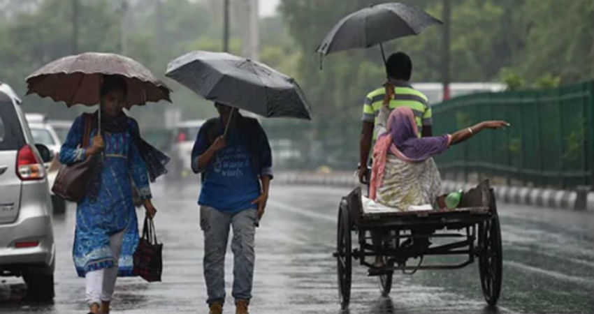
Madhya Pradesh has been witnessing extremely heavy Monsoon rain and thundershowers for the last few days attributed to a Well-Marked Low-Pressure Area which moved towards the state from the Bay of Bengal. It is the only state in the plains apart from Rajasthan which has recorded surplus rains of 27% whereas Rajasthan has recorded 25% of rain.
In the past 24 hours, Umaria, Rewa, Sidhi, Satna and Khajuraho recorded 53 mm, 26 mm, 27 mm, 24 mm and 12 mm of rains, respectively.
These rains were in the wake of a Low-Pressure Area which was persisting over Madhya Pradesh and now it has moved towardsEast Uttar Pradesh as a Well-Mark Low-Pressure Area. Thus, we expect few good spells to continue over the northeastern parts of Madhya Pradesh today as well. Thereafter, the intensity of rain is likely to subside over this region too.
In the past 24 hours, there was asignificant drop in rainfall activity in West and South districts of Madhya Pradesh. Now, due to the further north movement of the Trough, the weather of entire Madhya Pradesh will be completely dry until July 15 or 16. Thus, we can say that the people of Madhya Pradesh will now see relief from flood like situation in the state.
Image Credit: Patrika
Please Note: Any information picked from here must be attributed to skymetweather.com


