During the last 24 hours, Southwest Monsoon has remained vigorous over Konkan & Goa region as well as over Vidarbha. Also, Madhya Maharashtra and Marathwada regions witnessed some good spells of Monsoon rains. Thus, several districts of Maharashtra such as Mahabaleshwar, Thane, Mumbai, Pune, Nanded, Solapur, Parbhani has received heavy to very heavy rainfall activities. Therefore, the residents of Maharashtra has been experiencing cool and pleasant weather conditions for quite some time now.
In a span of last 24 hours from 8:30 am on Saturday,Nandedrecorded 207 mm of rainfall,Osmanabad151 mm, Thane 109 mm, Parbhani 97 mm, Udgir 95 mm, Mahabaleshwar 63 mm,Ahmednagar57 mm, Bhira andMumbai54 mm, Chandrapur 45.5 mm,Aurangabad41 mm, Yeotmal 39.2 mm, Amaravati and Buldhana 39 mm,Nashik31.5 mm, Dahanu andPune30 mm, Harnai andRatnagiri21 mm, Akola 15 mm, Jalgaon 12 mm,Satara9 mm, Alibag 5.7 mm and Bheed 2.2 mm.
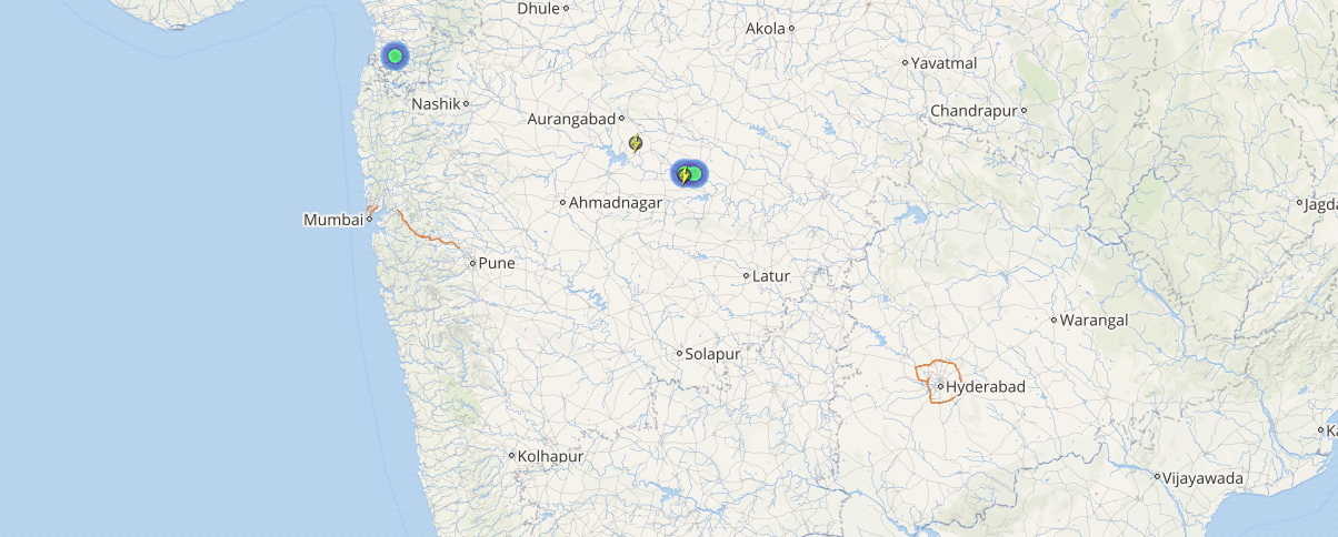
These weather conditions can be attributed to a low pressure area which is seen lying over Vidarbha and adjoining areas. This system is further likely to move in a West direction. Due to the presence of this weather system, moderate to heavy rain and thundershowers will continue to lash many places over Vidarbha and Konkan & Goa region.
[yuzo_related]
In fact, cities such as Pune, Mumbai, Mahabaleshwar, Satara,Jalgaon, Buldhana, Aurangabad, Nashik,Raigad, Ahmednagar, Thane,Solapurand Dahanu will continue to witness heavy rains with extremely heavy at a few places during the next 36 hours.
Click here to check the Live Lightning and Thunderstorm status over Maharashtra:
Thereafter, these incessant rainfall activities are likely to reduce gradually over the interior parts of Maharashtra. However, coastal parts of Maharashtra including Mumbai will continue to settle with moderate to heavy rain and thundershowers. Though light rains with a few moderate spell may continue to occur over the entire state.
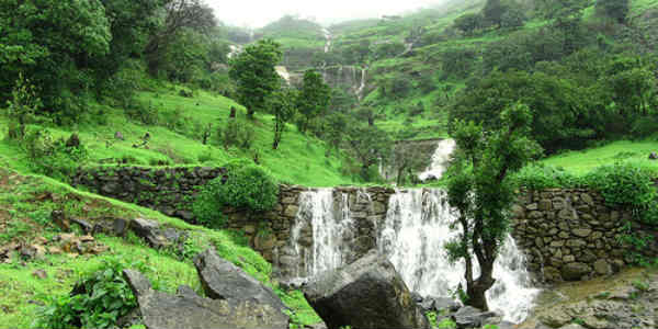
Image Credit: wondervisionholidays.com
Any information taken from here should be credited to skymetweather.com