Scattered rain and thundershower activities are going on over western parts of Saurashtra and Kutch. Places like Naliya and Dwarka have received moderate showers from the past two days. In the last 24 hours as well, Naliya recorded 15mm and Dwarka 13 mm of rainfall.
Now theextremely severe cyclone ‘Maha’ will start recurvingto east-northeast direction towards South Gujarat. Therefore, now we expectrain activities to increase over Gujarat.Today, the weather of Gujarat will be partly cloudy to cloudy and eventually the cloud cover is expected to increase.
Light scattered rains with one or two moderate spells are expected to occur over Kutch and parts of Saurashtra. By November 6 afternoon or evening, rain activities are likely to increase ever the state and there will be fairly widespread rain and thundershower activities. Although the intensity of rain will be light to moderate. However, isolated intense spells cannot be ruled out.
The sea conditions will also start deteriorating asCyclone ‘Maha’will move towards Gujarat and by tomorrow sea conditions will be very rough and a large choppy sea will be a sight. The wind speed will also start increasing and it will be to the tune of 50-60 kmph gusting 70 kmph over Gujarat. At the time of landfall, it may reach 70-80 kmph gusting to 90-100 kmph.
On reaching the Gujarat coast, Cyclone Maha will start weakening but we expect heavy rains and strong winds over South Saurashtra and Kutch near Porbandar, Veraval, and Diu.
The rain activities over Ahmedabad, Gandhinagar, Rajkot, Sabarkantha, Banaskantha, Mehsana and Patan will be moderate in nature. These activities will be seen November 6 night onward until November 7. Whereas rain activities will start reducing from November 8 and during that time scattered rains will be a sight over the eastern districts of the Gujarat region.
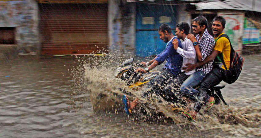
Image Credits – India Today
Any information taken from here should be credited to Skymet Weather