Fresh Low Pressure area in Bay of Bengal to keep Monsoon active, good rain in Odisha expected

August 5, 2019 12:52 PM|

Low Pressure in Bay of Bengal

The Cyclonic Circulation that was already there in the Northwest Bay of Bengal has now become more organised and aLow-Pressure Areahas formed.  The low-pressure system is an outcome of the merger of two weather phenomena. One is the remnants ofstorm Wiphaacross Vietnam, Burma and another one is the Cyclonic Circulation that had formed in the Bay of Bengal.

According to meteorologists, the system is likely to become more marked and can probably become thefirst Depression of this season. It will eventually move northwestward and is expected to cover a large area. Hence, it is going to be a stronger system. The countrywide rainfall deficit has narrowed to 7%, and with good rain likely in the wake of the Low-Pressure Area in the Bay of Bengal this week the deficit is expected to drop further.

Today, this system is likely to remain over the sea and will give subdued activities over Northeast India. This system will give moderate to heavy rains overOdisha, West Bengal and parts of Andhra Pradesh.Eventually, this system will give rainfall activity over Madhya Pradesh and Chhattisgarh on one side and Jharkhand and Bihar on the other. This system will have a four-day long journey starting today.

The oscillation of the Monsoon Trough is a possibility due to the Low Pressure Area, resulting in fairly widespread rain activities over the Northwestern plains of the country comprising of Punjab, Haryana, Delhi and western parts of Uttar Pradesh. It is likely to cover Himachal Pradesh and Uttarakhand as well.

Eventually, rains can be expected over Gujarat and Rajasthan as well.

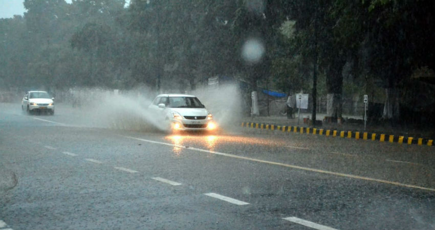
Image Credit: Kalinga TV

Please Note: Any information picked from here must be attributed to skymetweather.com

Similar Articles

thumbnail image
March 20, Today Marks The Spring Equinox: Day-Night Duration Nearly Equal

The official transition from winter to spring, known as the SPRING EQUINOX, occurs today! It’s time when the Sun crosses the celestial equator precisely at 2:31 PM, delivering warmer, longer days to the Northern HemiSphere. As autumn arrives, the South enjoys colder evenings.

posted on:
thumbnail image
आज सूर्य करेगा भूमध्य रेखा पार, बसंत ऋतु की शुरुआत, दिन-रात की अवधि लगभग बराबर

आज, 20 मार्च 2025, बसंत विषुव (Spring Equinox 2025) का दिन है। सूर्य भूमध्य रेखा को पार करेगा, दिन बड़े और गर्म होंगे। उत्तर गोलार्ध में बसंत ऋतु की शुरुआत होगी, दक्षिण गोलार्ध में शरद ऋतु का आगमन होगा। वहीं, सितंबर में यह खगोलीय घटना फिर से होगी।

posted on:
thumbnail image
गर्मी का दायरा बढ़ा! ओडिशा, महाराष्ट्र, तेलंगाना और रायलसीमा में 40°C के पार तापमान, राहत की उम्मीद

देश में समय से पहले गर्मी असर बढ़ रहा है। ओडिशा, महाराष्ट्र, तेलंगाना, आंध्र प्रदेश में अभी तापमान से 40°C से ऊपर पहुंच गया है, जिस कारण इन राज्यों में भीषण गर्मी हो रही है। फरवरी 2025, पिछले 125 वर्षों में सबसे गर्म महीना रहा है। कई जगहों पर सामान्य से 6.4°C तक ज्यादा तापमान रिकॉर्ड हुआ है।

posted on:
thumbnail image
दिल्ली में बढ़ेगी गर्मी! शुष्क और तपता रहेगा वीकेंड, बारिश की संभावना हुई कम

दिल्ली में गर्मी बढ़ रही है, पिछले 3 दिनों में तापमान 4°C बढ़ा है। आज अधिकतम 34-35°C, न्यूनतम 17°C तक रह सकता है। मार्च अब तक लगभग शुष्क बना हुआ है, सिर्फ 2mm बारिश दर्ज हुई है। 26-28 मार्च को तापमान 40°C के करीब पहुंचने की संभावना है। वहीं,पश्चिमी विक्षोभ से मैदानी इलाकों में बारिश की संभावना नहीं है।

posted on: