Weather update and forecast for December 16 across India


KEY TAKEAWAYS
- Multiple Western Disturbances are influencing weather over northern parts of the country.
- Dense to very dense fog continues to disrupt visibility across parts of North India.
- Rainfall activity persists over Andaman and Nicobar Islands and southern peninsular India.
- Cold conditions remain prominent, with minimum temperatures significantly below normal in many regions.
The weather system over the country:
A Western Disturbance is over North Pakistan and adjoining areas.
Another Western Disturbance is seen as a trough in the middle tropospheric westerly winds, with its axis at around 5.8 km above mean sea level, running roughly along longitude 60°E to the north of latitude 30°N.
The sub-tropical westerly jet stream, with core winds of the order of 115 knots at about 12.6 km above mean sea level, is blowing over Northwest India.
A cyclonic circulation is present over the Southeast Arabian Sea and adjoining Lakshadweep region.
A fresh Western Disturbance is likely to approach the Western Himalayan region from the night of 17 December 2025.
Weather Activity in the last 24 hours:
During the last 24 hours, light to moderate rain, with one or two heavy spells, occurred over the Andaman and Nicobar Islands.
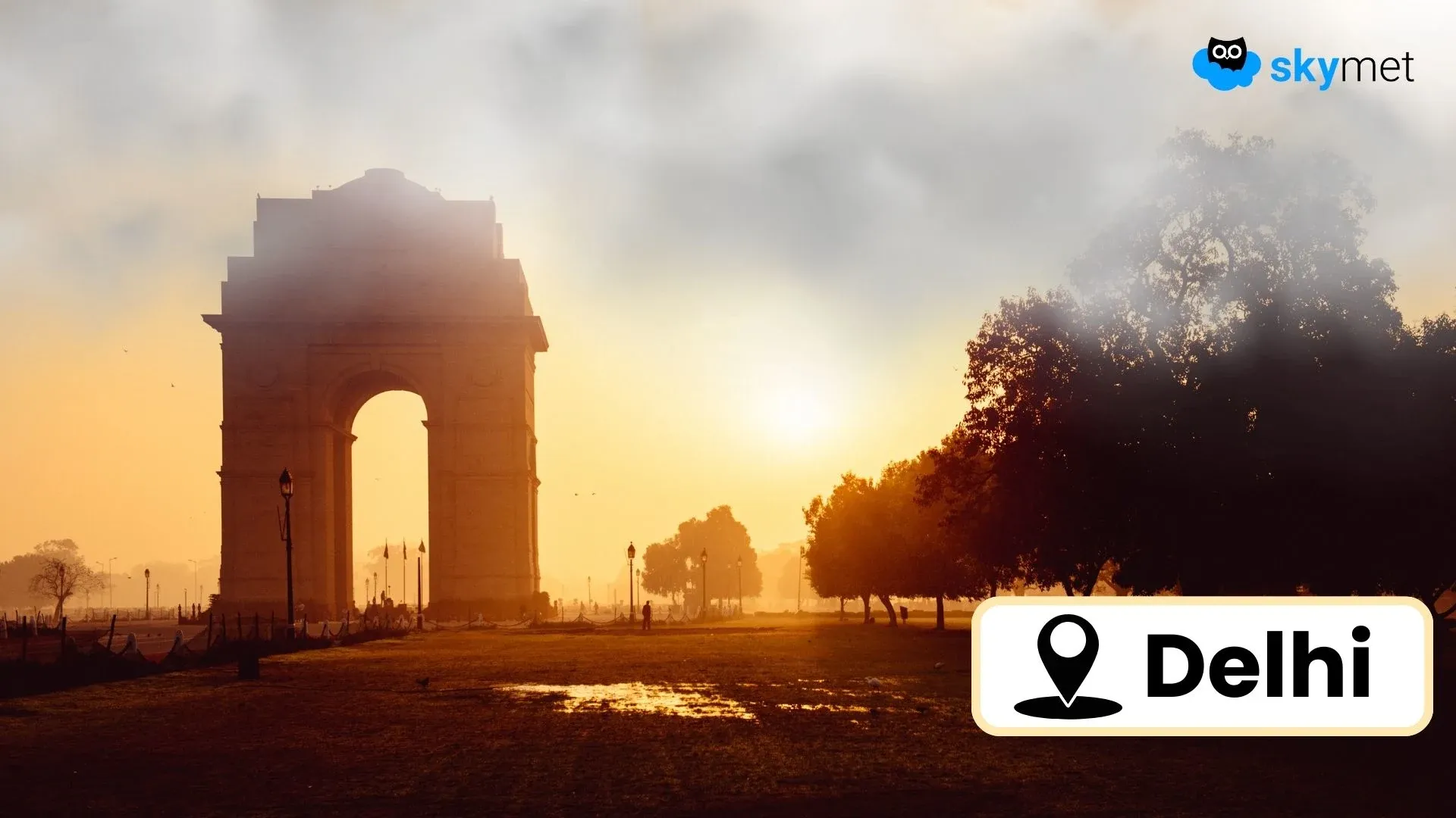
Dense to very dense fog was observed over many parts of Delhi NCR, parts of Haryana, South Punjab, West Uttar Pradesh, and East Rajasthan.
Moderate fog occurred over parts of Bihar and East Uttar Pradesh, while shallow fog was observed over North East India.
Minimum temperatures remained below normal by 5°C or more at many places over Tamil Nadu, Gangetic West Bengal, Madhya Pradesh, the Gujarat region, Rayalaseema, Karnataka, and in isolated pockets of North East India, Odisha, Bihar, East Uttar Pradesh, and the Western Himalayan region.
Forecast for the next 24 hours:
During the next 24 hours, light to moderate rain, with one or two heavy spells, may continue over the Andaman and Nicobar Islands.
Light to moderate rain is possible over Tamil Nadu and the south coastal districts of Andhra Pradesh.
Isolated light rain and snowfall are possible over Gilgit-Baltistan, Muzaffarabad, and Ladakh.
Dense fog may continue over parts of Punjab, Haryana, Delhi, and Uttar Pradesh.
Moderate fog is likely over parts of Rajasthan, East Uttar Pradesh, Bihar, and Madhya Pradesh.
Do not miss:
Any information picked from here must be attributed to Skymet!