
Updated on May 3, 2019 8:40 AM: Cyclone Fani makes landfall in Puri, Odisha, wind speed reaching 200 kmph
As expected,Cyclone Fanihas made landfall at Puri, Odisha at 8:40 am on Friday. The eye of the storm has entered the land mass, triggering torrential rains and damaging winds.
At present, wind speed is around 180-190 kmph gusting up to 200-220 kmph. It would be almost two hours long process, as the system passes through land. Since the system would be now travelling inland, it also expected to weaken.
Cyclone Fani to cross the coast in Puri, Odisha anytime now, just 40 km away
Extremely Severe Cyclone Faniis all set to make landfall at Puri coast in Odisha any time now. Fani is just 40 km far away from the coast. The maximum sustained winds with the cyclonic storm is 180-190 kmph gusting up to 200-220 kmph.
However, interaction with land has led to slight weakening of extremely severecyclone Fani, as the eye of the system has almost vanished. According to weathermen, the system is now travelling in unfavourable weather conditions of high vertical wind shear, cold sea surface temperatures and reduction of moisture due to the proximity of the coast.
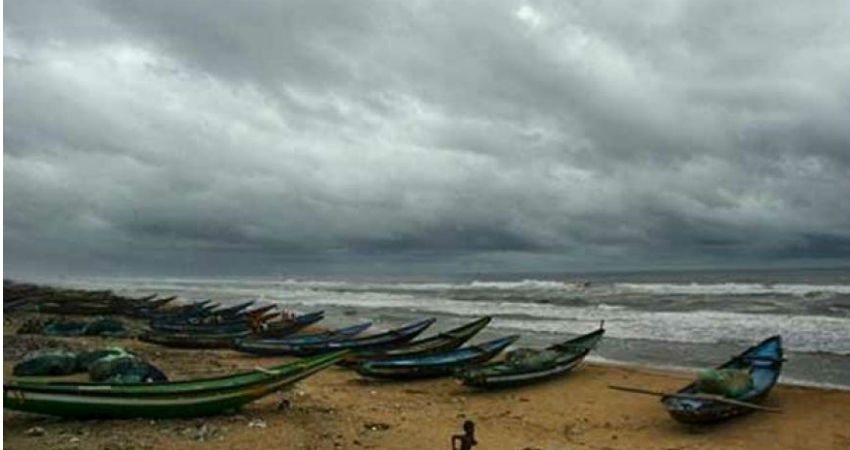
Meanwhile, extremely heavy rains have already started lashing the coastal parts of Odisha. Squally winds to the tune of 90 kmph are already reaching the coast. The speed would increase significantly in order of 190-200 kmph, gusting up to 210-220 kmph as thecyclone Fani makes landfall on Friday morning.
Next two to three hours remain crucial for Odisha as they would have to battle extreme weather conditions in terms of torrential rains, damaging winds, flooding uprooting of trees, snapping of communication and electricity poles.
State authorities have already evacuated nearly million people, around 10,000 villages and 52 towns have been emptied in order to escape any untoward incidents.
Image Credit:en.wikipedia.org
Any information taken from here should be credited to skymetweather.com


