
The weather system affecting the eastern states of India will move east/northeastwards and merge with the cyclonic circulation over parts of Assam. This will result in increased weather activities over the northeastern states.
Assam,Meghalaya,Arunachal PradeshandNagalandin particular will receive good rain and thundershowers on March 27 and 28. Thereafter, for 48 hours the intensity of rain will decrease significantly over most parts of Northeast India.
Weather Alert -Rain and thundershowers with squally winds and lightning will occur over Anjaw, Changlang, Dibang Valley, East Kameng, East Siang, Kra Daadi, Kurung Kumey, Lohit, Longding, Lower Dibang Valley, Lower Siang, Lower Subansiri, Papum Pare, Siang, Tawang, Tirap, Upper Siang, Upper Subansiri, West Kameng, West Siang, Baksa, Barpeta, Biswanath, Bongaigaon, Cachar, Charaideo, Chirang, Darrang, Dhemaji, Dhubri, Dibrugarh, Goalpara, Golaghat, Hailakandi, Hojai, Jorhat, Kamrup, Kamrup Metro, Karbi Anglong East, Karbi Anglong West, Karimganj, Kokrajhar, Lakhimpur, Majuli, Morigaon, Nagaon, Nalbari, N.C.Hills, Sivasagar, Sonitpur, South Salmara-Mankachar, Tinsukia, Udalguri, East Garo Hills, East Jaintia Hills, East Khasi Hills, North Garo hills, Ribhoi, South Garo Hills, South West Garo Hills, South West Khasi Hills, West Garo Hills, West Jaintia Hills and West Khasi Hills districts of Arunachal Pradesh Assam and Meghalaya during next 24 hours.
However, from March 31 to April 2, we once again expect fairly widespread rain and thundershower activities over the northeastern states, due to the formation of a cyclonic circulation over Assam and adjoining areas, which will extend up to 3.1 km above mean sea level.
During this period, we expect moderate spells with few heavy showers accompanied with lightning strike and isolated hailstorm activity over Northeast India.
April 2 onward, weather will once again start clearing up over most parts of Northeast India. However, intermittent rain and thundershower will still continue in parts of northeastern states.
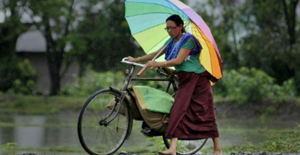
Image Credit: Pininterest
Please Note: Any information picked from here must be attributed to skymetweather.com


