The previous Western Disturbance has now moved away. In wake of this weather system, temperatures have witnessed a drop in the plains of North India. The induced cyclonic circulation is also moving away. A fresh Western Disturbance is approaching the hills of North India. Only the higher reaches will receive rain and snow. The plains could observe partly cloudy skies.
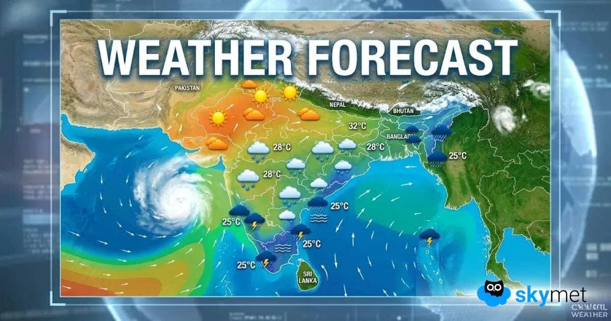
A fresh cyclonic circulation can be seen over west Madhya Pradesh and adjoining areas of Rajasthan and Gujarat. It’s showing a tendency to shift eastwards. Simultaneously, there is an anti-cyclone over Odisha and Chhattisgarh region. The confluence of these two streams of winds will bring a prolonged wet spell in Central and East India.
This 4 to 5 days long rainy spell will begin with Madhya Pradesh and Chhattisgarh. Later on Rajasthan, Odisha, Bihar and West Bengal will also receive some rainfall. Eventually, the belt of rain will shift towards Northeast India.
As of now, Northeast India will be mainly dry.
Fog will be mostly shallow in entire North India, East and Northeastern parts. Isolated parts of East Uttar Pradesh and Bihar could receive dense fog on Thursday morning.
Down South, we can expect dry weather conditions with some scattered clouds. Peninsular India could receive some rainfall in the next week.
Minimums will settle in the range of 8 to 10°C in Delhi, Lucknow and Patna.
Mumbai and Hyderabad will be quite warm at 30°C.
Minimum in Mumbai will be quite high around 19°C. In Hyderabad and Bangalore night temperature will be near 15°C.


