Low-Pressure Area Likely Over Bay: Heavy Rains Over Eastern Parts

Key Takeaways:
- A fresh low-pressure area is likely to form over the Northwest Bay of Bengal and move inland across Gangetic West Bengal and North Odisha on August 13.
- Monsoon activity will become vigorous over Odisha, Jharkhand and Chhattisgarh on August 13–14, extending towards East Uttar Pradesh and East Madhya Pradesh on August 15.
- A northward shift of the monsoon trough could trigger break-in-monsoon conditions over large parts of India from August 16 onward.
- Heavy to extremely heavy rainfall may affect the Himalayan foothills and adjoining eastern and northeastern regions between August 16 and 20.
- Forecast Validity: Next 2 to 3 days.
Advertisement
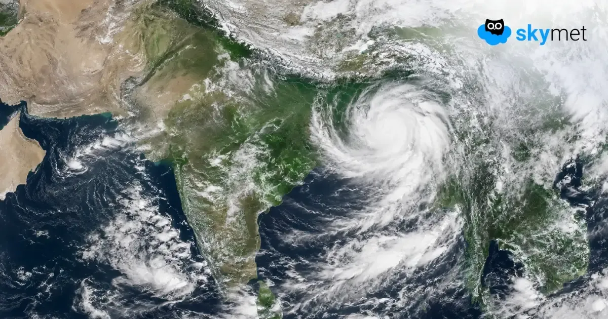
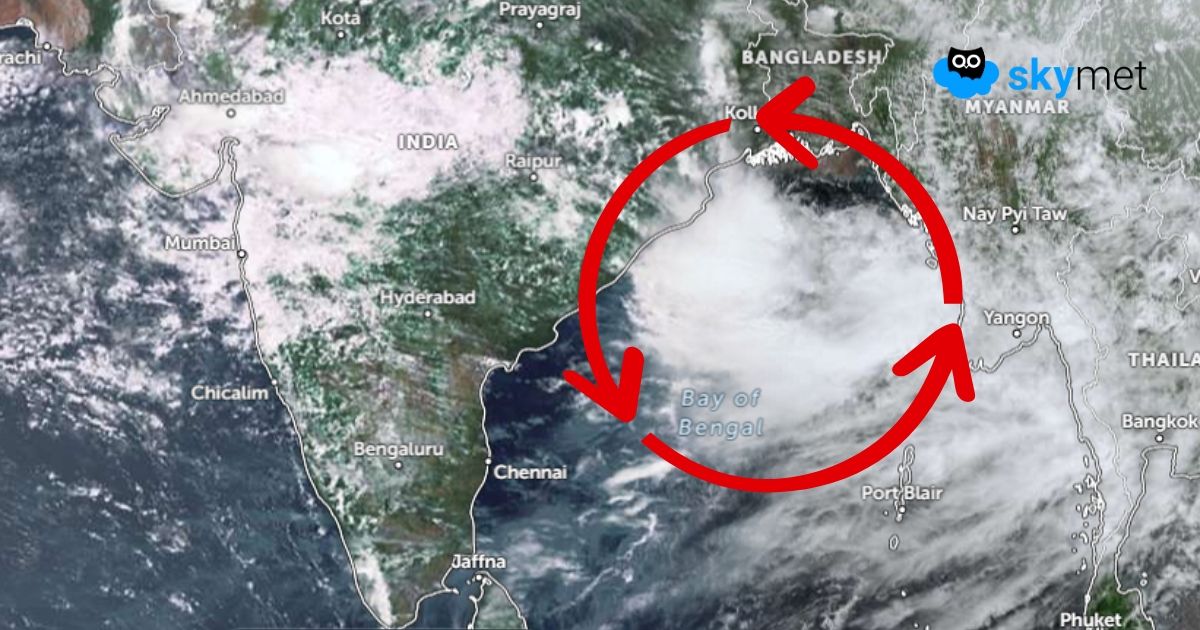
Close on the heels of the low-pressure area, now lying over Northwest Madhya Pradesh, another system is likely to form over the Bay of Bengal. There is a cyclonic circulation marked over the Northwest Bay of Bengal and adjoining region. Under its influence, a low-pressure area is likely to form over the same region by tomorrow. The low pressure will move inland, across the coastline of Gangetic West Bengal and North Odisha on 13th August, and track further west over parts of Odisha, Jharkhand and North Chhattisgarh region on 14th August.
Advertisement
There is an east-west shear line almost along 22°N, across the central and eastern parts of the country. Under the combined influence of these two systems, the monsoon will become very active and vigorous in some parts over Odisha, Jharkhand and Chhattisgarh on 13th and 14th August 2026. The rains will stretch further to reach East Uttar Pradesh and East Madhya Pradesh on 15th August.
Unlike the previous system, this low pressure is unlikely to travel deep inland. There is a likelihood of the system shifting more to the north and taking the monsoon trough close to the foothills of Bihar, Nepal and East Uttar Pradesh. Such a position of the trough can lead to break-in-monsoon conditions during the third week, from 16th August onwards. It is rather difficult to predict as to how long the trough will retain this position.
Heavy rainfall is likely over East Uttar Pradesh, Bihar, Jharkhand, Sikkim & Sub-Himalayan West Bengal and Northeast India, commencing 16th August 2026. Intense rains will continue till 20th August, more severe along the foothills. Rainfall will be minimal over other parts of the country during this period. Western, Central and Southern parts will have absolutely lean monsoon activity.
However, the mountain states of North India, foothills of Uttar Pradesh and Bihar will have to watch out for extremely heavy rainfall during this period. The revival of normal monsoon activity comes up with a fresh low-pressure area forming over the Bay of Bengal. As of now, there are no signs of any significant development till 21st August 2026. The Bay of Bengal will be kept under close observation for the formation of any monsoon system.
Trending: