
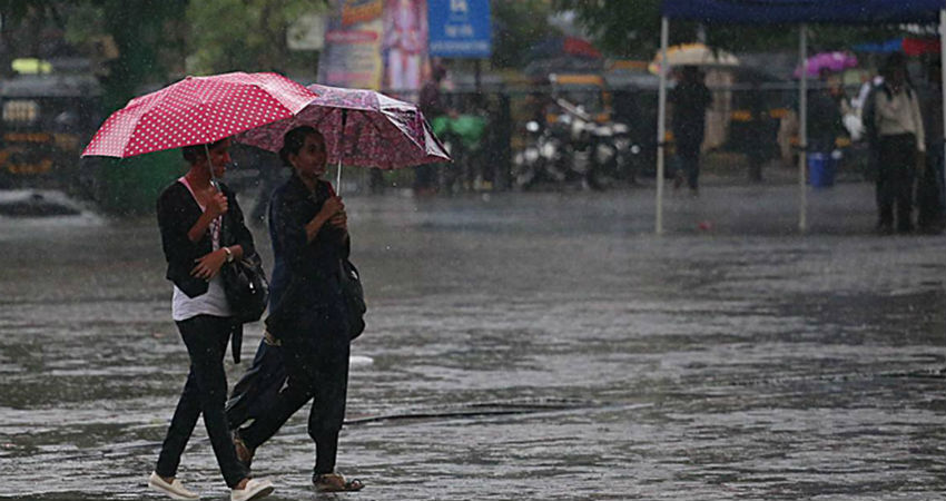
Frequent Western Disturbances in the previous week resulted in excess snowfall in the Northern Hills. Madhya Pradesh and Chhattisgarh observed rainfall and thundershower activity. Rail and road traffic were disrupted across Delhi NCR on January 20thand 21st. South and Central India witnessed generally dry weather conditions. As accurately predicted by Skymet, the weather did not play spoil sport on Republic Day.
WET SPELL IN NORTH INDIA AND RAINFALL ACTIVITY OVER EAST AND NORTHEAST INDIA LIKELY TO MAKE THIS THE WETTEST JANUARY SINCE 2005
The week will commence with an active Western Disturbance which will lead to weather activity in North India. The Northern Hills, especiallyHimachal Pradesh and Uttarakhand will experience snowfallon January 27th, 28thand 29th. Having induced cyclonic circulation, the Western Disturbance will cause rain and thundershower activity in the plains of Haryana, Punjab, North Rajasthan, West Uttar Pradesh, and Delhi NCR. Hailstorm is likely to be experienced at a few places. A drop in the day temperature and a rise in the minimum temperature are likely to be recorded. Rain and thundershower activity, accompanied by hailstorms is likely to be experienced over Delhi NCR on January 27th, 28th, and 29th, with the activity expected to peak on the 28th.
Scattered rains and thundershowers will be experienced over East Uttar Pradesh, Bihar, Jharkhand, and West Bengal on January 28th, 29thand 30th. The activity will then shift towards the Northeast and cover the entire region on the January 30thand 31st. The rain will then be confined to Arunachal Pradesh and upper Assam on February 1stand 2nd.
Parts of Saurashtra and Kutch will record light rains on January 27th, which will then extend to parts of South Gujarat on 28thand affect places like Ahmedabad, Gandhinagar, and Vadodara. While Chhattisgarh and Odisha will experience some unseasonal activity on January 28thand 29th, Vidarbha and Madhya Pradesh will observe the same on 1stand 2nd. Light rains will be recorded over Mumbai, Pune, and Nasik on January 28th. Minimum temperature in Mumbai could drop to 15oCelsius.
NO SIGNIFICANT ACTIVITY IN PENINSULAR INDIA
Peninsular India will not experience any significant weather activity this week. Parts of Telangana and coastal Andhra Pradesh will record scattered and light rains on January 28thand 29th. There will be a rise in temperature along the West Coast. Chennai will experience generally dry weather conditions.
Till date, January has already recorded double of its average rainfall activity. The wet spell expected over North India from January 27thto 29th, and the unseasonal weather activity over the Eastern parts of the country will possibly make this the wettest January since 2005.
Image Credit: NDTV
Any information taken from here should be credited to skymetweather.com


