Skymet Weekly Intelligence — 24 August 2026

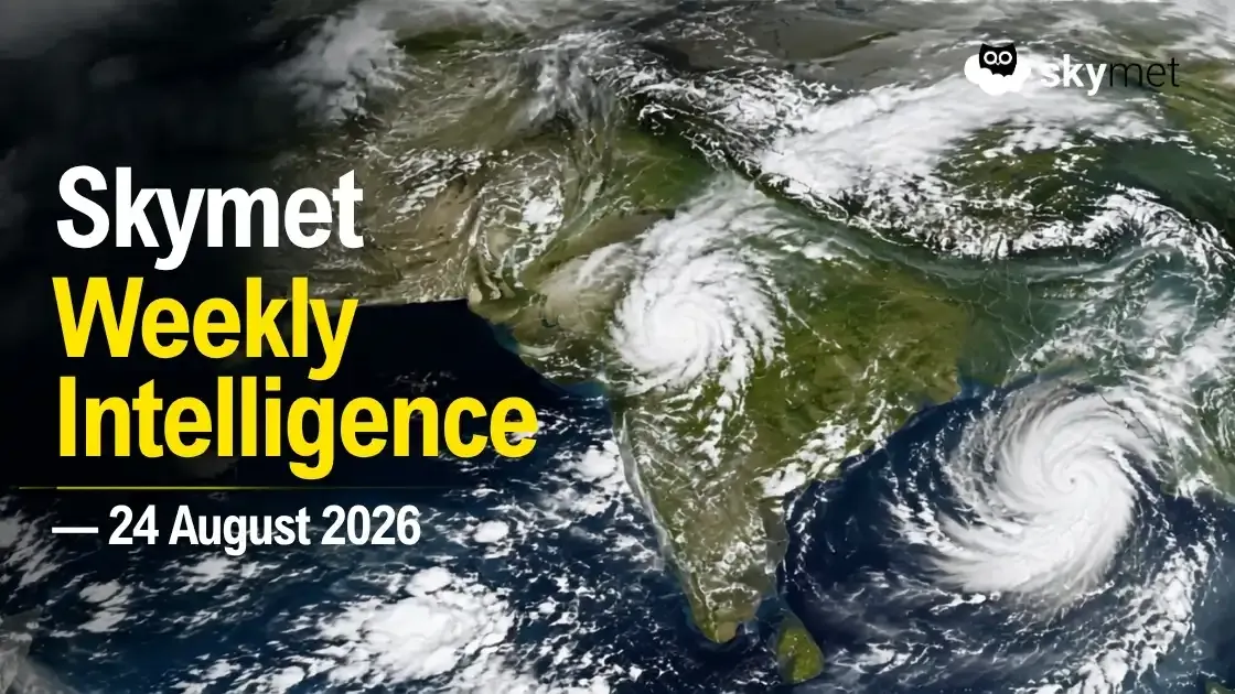
Key Takeaways:
- Skymet has revised the 2026 Southwest Monsoon forecast to 85% of LPA, with a 70% probability of drought.
- Heavy rainfall remains concentrated over eastern and central India, while several rain-deficient regions continue to underperform.
- Weekly Niño 3.4 reached +1.8°C by mid-August, while NOAA gives an 81% probability of a very strong El Niño during October–December 2026.
- Reservoir availability, crop-stage moisture and intraday power-market conditions are becoming increasingly important as rainfall remains geographically uneven.
- Forecast Validity: Next 7 days.
Advertisement
It is August’s last week, and India's monsoon landscape has become increasingly uneven. Though multiple weather systems have been emerging from the Bay of Bengal, these spells remain inadequate for a broad-based monsoon recovery.
Advertisement
Large parts of the southern peninsula and other rain-deficient regions continue to underperform, even as pockets of Odisha, Chhattisgarh, Madhya Pradesh and eastern India experience episodes of intense rainfall.
On the other hand, El Niño continues to strengthen in the Pacific, with significant oceanic warming and substantial subsurface heat supporting further development. The evolving climate signal is becoming increasingly important as the Indian monsoon enters its final phase.
Monsoon Forecast And Drought Risk
Skymet has revised its 2026 Southwest Monsoon forecast downward from 94% to 85% of the Long Period Average (LPA), with a 70% probability of drought. August rainfall is expected at 84% of LPA and September at 80% of LPA.
Observed rainfall trends broadly support the direction of this downgrade, although not necessarily its eventual magnitude.
During 13–19 August, all-India rainfall was 16% below normal, while the seasonal deficit stood at around 13% through 19 August.
During 13–19 August, the South Peninsula was 54% deficient, while its seasonal deficit stood at around 22%. East and Northeast India remained around 25% deficient for the season, despite recent episodes of heavy rainfall, while Central India was comparatively better placed at around 1% below normal.
Bay Systems Continue To Drive Heavy Rain, But Over A Narrow Corridor
The low-pressure area from the Northwest Bay of Bengal has moved inland across parts of West Bengal, North Odisha and Jharkhand, with its associated cyclonic circulation extending deep into the troposphere.
Supported by the monsoon trough and an east-west shear zone near 22°N, the system will sustain widespread rain and thunderstorms across Odisha, Chhattisgarh and East Madhya Pradesh through 24–26 August, with activity extending into Jharkhand, Uttar Pradesh, West Madhya Pradesh and adjoining Rajasthan.
Intense weather activity will start withdrawing from Rajasthan around 26 August and Madhya Pradesh by 27 August, thereafter shifting east towards Bihar, Jharkhand, North Chhattisgarh, North Odisha and Gangetic West Bengal.
While Kerala, Coastal Karnataka and Goa will retain active monsoon conditions, much of western, central and southern India is unlikely to see a significant revival during the remaining days of August. Successive Bay systems may therefore worsen flood risks across already wet eastern regions without substantially reducing rainfall deficits farther south and northwest.
Advertisement
El Niño Risk Has Strengthened Materially
El Niño continues to strengthen, but its intensity alone does not determine the magnitude of its regional impacts. Equatorial Pacific waters remain unusually warm, supported by substantial subsurface ocean heat.
Weekly Niño 3.4 reached +1.8°C by mid-August, while warming has been substantially stronger farther east in the equatorial Pacific. This eastward concentration of warming increasingly resembles the pattern associated with a Canonical, or Eastern Pacific, El Niño, which historically has been an important risk factor for Indian monsoon rainfall.
NOAA's latest outlook gives an 81% probability of a very strong El Niño during October–December 2026.
However, the eventual impact on India will depend not only on El Niño's strength, but also on the location of Pacific warming and its interaction with the Indian Ocean Dipole, MJO and individual monsoon systems.
IOD: Positive Phase Possible
The Indian Ocean Dipole remains neutral. The Bureau of Meteorology recorded a weekly IOD index of +0.41°C for the week ending 9 August, the third consecutive week at the positive IOD threshold.
Forecast models continue to suggest that a positive IOD may develop, but uncertainty remains over its timing and strength. A late-developing positive IOD may also have limited ability to compensate for rainfall deficiencies already accumulated during the monsoon season.
MJO Offers Limited Immediate Support
The Madden-Julian Oscillation is unlikely to provide sustained support for organised monsoon activity over the Indian seas in the immediate period. Its signal remains relatively weak, while its interaction with the strengthening El Niño continues to influence tropical convection.
Agriculture And Water: Focus Shifts Beyond Sowing Acreage
With kharif sowing now well advanced, acreage alone is becoming a less useful measure of agricultural risk. Attention needs to shift towards crop-stage soil moisture, reservoir-supported irrigation and eventual yield potential, particularly for paddy, soybean, cotton, maize and pulses.
Reservoir conditions remain an important concern. The Central Water Commission monitors 166 reservoirs with a combined live-storage capacity of about 183.6 BCM.
Despite improvement from earlier in the season, storage remains substantially below the corresponding level last year, with southern India among the regions showing the largest year-on-year shortfall.
Energy: Weather Risk Is Becoming An Intraday Power Risk
India's changing electricity system is strengthening the relationship between weather and short-term power-market conditions.
For delivery on 24 August, the IEX Day-Ahead Market recorded an average Market Clearing Price of approximately ₹7.30/kWh, with the maximum reaching ₹10/kWh. Cleared and finally scheduled volume stood at approximately 166,275 MWh. These figures indicate periods of exchange-market tightness but should not be interpreted as evidence of a nationwide electricity shortage.
At the same time, India's expanding renewable fleet creates the possibility of abundant solar generation during daylight hours, followed by a sharp reduction after sunset while electricity demand can remain elevated.
Accurate short-range forecasts of cloud cover, solar radiation, wind, rainfall and temperature are therefore becoming increasingly relevant for anticipating renewable generation, net load, storage requirements and short-term electricity-market conditions.
The Week Ahead
Rainfall will remain concentrated over eastern and adjoining central India through 26 August, before the vigorous belt shifts east towards Bihar, Jharkhand, North Chhattisgarh, North Odisha and Gangetic West Bengal. Despite these heavy spells, the broader monsoon remains deficient and geographically uneven.
El Niño remains the key large-scale climate risk, with further strengthening expected. Its interaction with the uncertain IOD, limited MJO support and individual Bay systems will help determine the remaining monsoon performance.
The defining pattern of the 2026 monsoon is therefore increasingly clear: drought nationally, deluge locally. The critical question is no longer simply how much rain India receives, but where it falls and whether the regions that need it most actually receive it.