AsWinters make its mark,the northern hills of the country are gearing up for rain and snow. A yellow weather warning has been issued on Tuesday against rain and snow in some places of Himachal Pradesh over the next two days.
Although, the colour yellow is considered the least dangerous among the warnings it is still worth taking precaution.
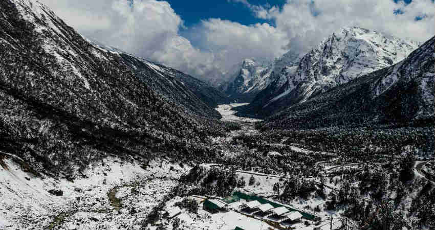
At present,season’s fourth active Western Disturbanceis affecting the Western Himalayas due to which, many parts of Jammu and Kashmir, Ladakh, Himachal Pradesh and Uttarakhand have already received good rain and snow during the last 24 hours. We expect these rain and snowfall activities to increase further over Himachal Pradesh and Uttarakhand today. Activity of the same intensity will continue over Jammu and Kashmir and Ladakh as well.
By tomorrow, November 28 this Western Disturbance will start moving away eastwards and there will be a significant improvement in the weather.
The maximum temperature has already dropped by 3 to 4 degrees Celsius over most places in the hills. This spell of rain and snow may lead to traffic jams, road obstructions, landslides and mudslides. Chances of Avalanches increase manifold in the hills whenever there is good snowfall.
This Western Disturbance has also impacted northern plains as it has induced a Cyclonic Circulation over West Rajasthan which has resulted in rain and thundershower activities along with isolated hailstorm over the Northwest Plains.
After the passage of this Western Disturbance, the minimum temperatures will drop by three to four degrees over the Northern Plains. Day temperatures of Jammu and Kashmir, Ladakh and Uttarakhand will increase from November 29. However, the minimums will drop.
Another feeble Western Disturbance is now over Afghanistan which will start affecting Western Himalayas from November 30 but we do not expect any heavy rain or snow during this period. However, isolated pockets of Jammu and Kashmir, Himachal Pradesh, and Ladakh may receive light rain and snow.
Image Credits– Hindustan Times
Any information taken from here should be credited to Skymet Weather


