During the last two to three days, scattered rains occurred over Northwest India and heavysnowfall was experienced over hills of Western Himalayas. Now, we expect icy cold winds from Jammu and Kashmir, and Himachal Pradesh to commence from Northern Plains of Punjab and Haryana, Delhi, Rajasthan and West Uttar Pradesh which will lead to dropping the minimum temperatures by two to three degrees.
Minimum temperatures ofDelhiwhich were recorded around 18 degree Celsius on November 7 may come down to 13 or 14 degree by November 10 or 11. Isolated pockets of Punjab and Haryana might even witness minimums in single figures in the coming few days.
So, we can say that Winters are going to set in over Northwest India soon somewhere around November 10 or 11.
The Northwest Plains of Punjab, Haryana and Rajasthan usually receive Winter rainfall due to Western Disturbances and the Cyclonic Circulations induced by them. Recently, we have witnessed such rain activities over many parts of Punjab, Haryana, Rajasthan as well as Delhi and NCR.
TheWestern Disturbances are not seasonaland are a year-long affair which are governed by the position of the Sun. In Winters as the Sun starts traveling in Southern Hemisphere, the Western Disturbances also start traveling in the lower latitudes and affect the Western Himalayas between October and February. These weather systems are responsible for snowfall over hilly regions. After the passage of Western Disturbances, northerly icy cold winds tend to drop the temperatures over Northern Plains which will be the case now as well.
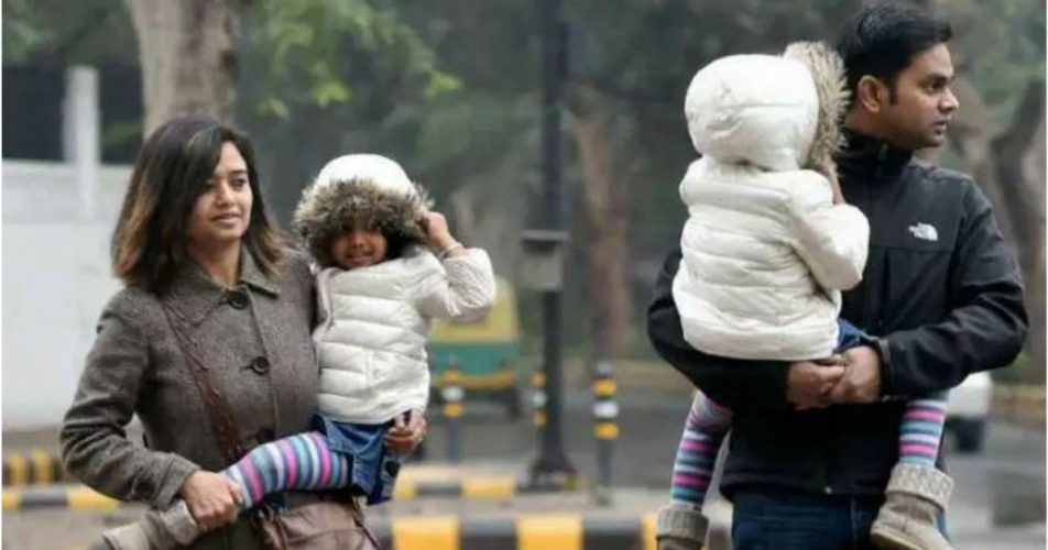
Now it is time to take out light woolens as the transition phase is already on. There is a huge difference between temperatures during early morning/evening hours and that of noon. While the early morning and evening temperatures are low day temperatures are near 30 degrees over most locations due to clear skies. Due to the wide variation between maximums and minimums, it is advised to wear light woolens and keep safe.
Image Credits– The Indian Express
Any information taken from here should be credited to Skymet Weather


