Winter Chill Keeping Languid Pace Over Northern Plains, Unlikely To Speed Up
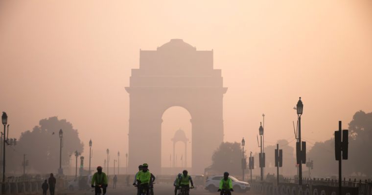
Day and night temperatures have been running above normal, almost over the complete Indian region. Wintery flavour, more synonymous with the northern plains around this time, is languishing whimsically. There are no early signs of winter chill arriving anytime soon over Punjab, Haryana, Rajasthan, West Uttar Pradesh and Delhi. Mercury remains above the average mark by 3°-5°C across all these parts. Amritsar, Pathankot, Jalandhar, Bhatinda, Chandigarh, Ambala, Karnal, Sirsa, Rohtak and Delhi have recorded the minimum temperature in the high teens, above normal by 3°-5°C. Even, the layer of fog manifesting the arrival of cool weather remains absolutely patchy and rather shallow. Typical touch of transition to the shivery days will remain in abeyance, till past mid-November.
Winter cool is largely triggered by the sheet of fresh snow spread across the higher reaches of mountain ranges like Pir Panjal, Karakoram, Hindukush, Shivalik and Dhauladhar. The western disturbances responsible for the snowfall have remained too little and rather weak, so far. All the popular destinations like Srinagar, Pahalgam, Gulmarg and Leh have observed above-normal temperatures. Chill in the plains trickles down, only from the slopes of the snow-clad mountains having heights of above 12,000 feet or more.
Earlier, there was the hope of a western disturbance arriving between 10th and 12th November. It was not to be a strong system but still could have given some rain and snow, to break the jinx of dry spell. The chances of this system have faded away. There are indications of another mild system passing across the higher and mid ranges, between the 14th and 16th Nov. Before the arrival of any western disturbance, relatively warm air spreads across the plains. This will arrest any likely fall in temperatures in the next one week. After the passage of the system, the pool of cold air sinks the temperatures, subject to the degree of weather activity associated with the western disturbance.
Plains of North India, including the national capital, are unlikely to have any rainfall in the next 10-12 days. Light snowfall over the higher mountains around mid-week next, may sneak lenient cool in some pockets of these parts. The drop in temperature will remain very gradual and aligned like more of a seasonal progression, rather than any plunge triggered by weather activity.


