The persisting low pressure area over Kutch and adjoining Pakistan may re-curve in the north east direction and reach north east Gujarat and south Rajasthan. After 24 hours, the system will lose its intensity gradually. A trough in the lower levels from east Uttar Pradesh to north Bay of Bengal is moving across Bihar, Jharkhand and Gujarat. The western disturbance as an upper air circulation now lies along the Afghan region.
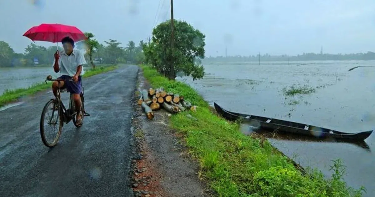
Yesterday’s system over north Gujarat and adjoining south Rajasthan will bring widespread moderate rain in this region for the next 48 hours. But the rain beltis likely to move in a north east direction and weaken gradually. Day temperatures of Gujarat will be significantly below normal but will rise gradually with decrease in rainfall. An associated upper air cyclonic circulation extending upto the mid tropospheric level persists. Rain will also lash few parts of Madhya Pradesh and Chhattisgarh keeping temperatures below normal by 2 to 3 degrees.
In the next 24 hours, south and east Rajasthan will receive moderate rain. Spells of light rain are may bring down temperatures in parts of Punjab, Haryana and Uttar Pradesh. Temperatures are expected to be above normal by a couple of notches in Jammu & Kashmir and Himachal Pradesh.
Rain intensity may increase over Odisha, Jharkhand and West Bengal; however, temperatures will remain marginally above normal. Light to moderate showers are a possibility over rest of east India.
Due to subdued rain activity temperatures are increasing over Kerala and Tamil Nadu. The mercury will rise further by few notches in Andhra Pradesh and interior Karnataka. But light thundershowers may bring down temperatures in coastal areas of Andhra Pradesh and Tamil Nadu.