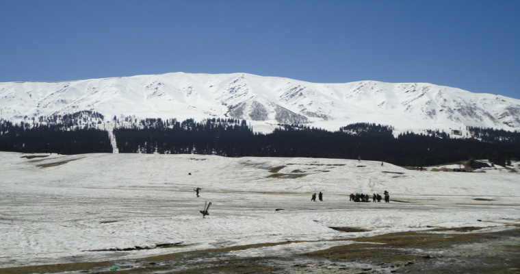
Most of the states of Western Himalayas are large rain excess between January 1 and January 30. Uttarakhand is surplus by 174%, Himachal Pradesh is surplus by 101%, Jammu Kashmir 87% and Ladakh is in normal rain category it is neither surplus nor deficient.
There were eight Western disturbances in the month of January. Out of which three were active and have dumped heavy snowfall over the hills. The month of February will also commence with a series of Western disturbances. First active western disturbance will approach Jammu and Kashmir on February 2nd. Rain and snow will continue over entire Western Himalayas until February 4th. Peak intensity is expected on 3rd.
Weather will start clearing up by evening or night of February 4. Another Western disturbance is expected to effect Gilgit-Baltistan, Muzaffarabad, Ladakh, Himachal Pradesh and Uttarakhand between February 6 and 7. This western disturbance will not be as active as previous one. But light to moderate rain and snow is possible.
Impact of First Western disturbance will also be felt over Indo Gangetic plains in terms of rain activities. Rain is expected over Punjab, Haryana, Delhi, Uttar Pradesh, Bihar, Jharkhand, West Bengal and parts of Odisha between February 3rd and 4th.


