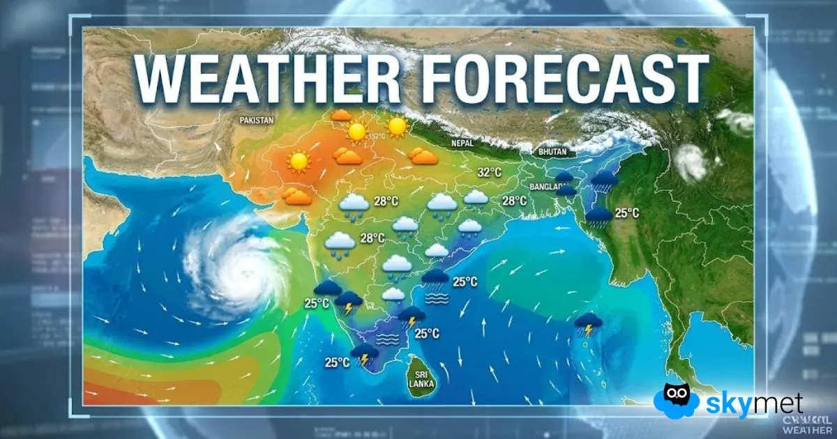
Fresh western disturbance as an upper air system has arrived over North Pakistan and Jammu & Kashmir. A weak induced cyclonic circulation is marked over North Punjab and neighbourhood. Under the combined influence of these systems, weather activity is expected across northern mountains and some parts of Punjab and Haryana. Tail of the weather belt may reach up to Delhi and outskirts, for a brief sprinkle. This weather activity will be spread over 2 days, 09th and 10th Nov, In a staggered manner over these parts.
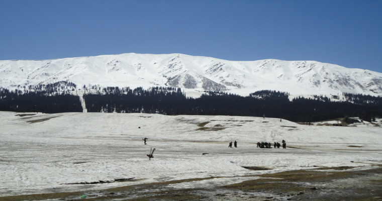
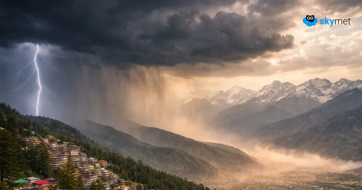
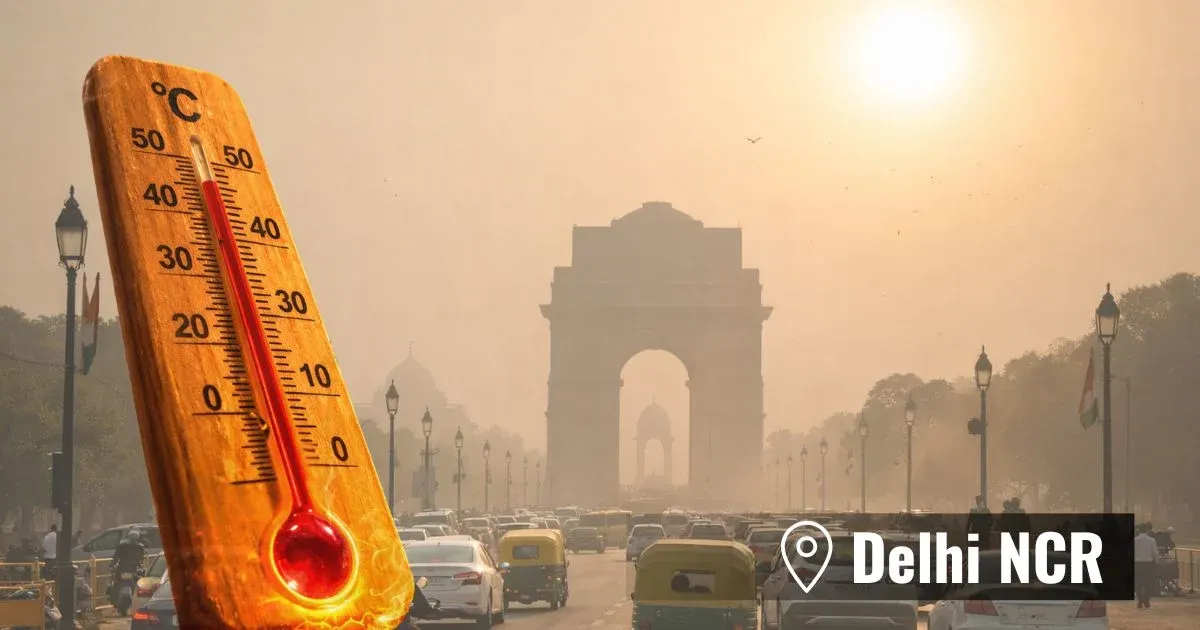
Mid and higher reaches of Jammu & Kashmir, Ladakh and Himachal Pradesh will have scattered rain and snow on 09th and 10th Nov. Lower hills and state of Uttrakhand will have intermittent rain and thundershowers on these two days. Over Punjab and Haryana, the weather activity will remain confined to foothills and some pockets in plains of North Punjab and North Haryana. Weather activity along the foothills and adjacent plains will occur tonight and tomorrow morning. Delhi may also get some fleeting showers in the wee hours tomorrow and extend till morning on 10thNov. Extreme northern parts of Rajasthan may also have similar weather conditions.
In wake of the system, the minimum temperatures are likely to drop by 2-4°C by early next week. Low level winds may also pick up slightly during the weekend and early next week. Light rain and winds will tend to improve the air quality. However, drop in temperature may bring more of stability in atmosphere and not likely to work in tandem with the other two factors. After the passage of the system, fair weather conditions are likely across northern plains and these will persist between 11thNov and 19th Nov, extendable to the subsequent week, as well.


