During the last 48 hours, many cities ofWest Bengal have received moderate to heavy showers. Formation of a cyclonic circulation overAssamandMeghalaya has led to a significant increase in rainfall witnessed by all the North Eastern states.
TodayKolkatareceived 32 mm of rain within a span of one hour. These intense pre-Monsoon showers were due to development of Cumulonimbus clouds. Though these rains last a short while, we expect more such activities to continue over Gangetic West Bengal and adjoining areas till June 17. Thereafter, intensity is expected to increase significantly which will mark the onset of Monsoon over Kolkata region. Till then, intermittent thundershowers with strong winds will continue to give short term relief from the ongoing hot and humid weather.
Rain recorded during last 24 hours in most pockets of the state are as follows: Shanti Niketan recorded the most rain fall of 68 mm,Darjeelingbeing second recorded 63.4 mm rainfall,Krishna Nagarrecorded 37.4 mm rainfall,Coochbeharrecorded 27 mm,Jalpaigurirecorded 29 mm of rain, andBurdwanrecorded 24 mm rainfall.
There is a possibility of further increase in the intensity of rain over sub Himalayan West Bengal andSikkim. It can be expected that Monsoon will be declared over northern parts of West Bengal any time now. Intensity of rain will continue to be fairly widespread over Northern and Central parts of West Bengal. However Gangetic West Bengal will continue to receive on and off pre-Monsoon activities including intense thundershowers which will last for upto 2 to 3 hours at a time.
Within these short periods of time, the amount of rain may be moderate to heavy. This is a typical pre-Monsoon pattern wherein thundershowers occur during late afternoons and evenings and/or early morning. West Bengal has already missed its Monsoon date which was expected to be around 10thJune. Though we expect Monsoon to enter Sub Himalayan West Bengal shortly, Gangetic West Bengal will have to wait for another 3 to 4 days for Monsoon-like rains to commence over the area.
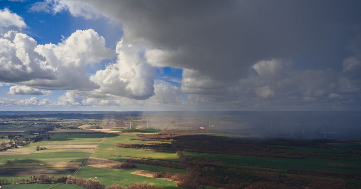
Image Credit: blog.scit.edu
Please Note: Any information picked from here must be attributed to skymetweather.com