TheWell-Marked Low-Pressure Areaover the west-central Bay of Bengal now lies over the west-central Bay of Bengal off Andhra Pradesh coast. The associated Cyclonic Circulation extends up to mid-tropospheric level tilting southwestwards with height. It is very likely to move north/northwestwards towards the north Andhra Pradesh coast.
A Trough is extending from this system along the coast up to central parts of West Bengal touching Jharkhand. As per our experts, not so good weather conditions are likely overOdisha, Gangetic West Bengal, and Jharkhand. Mainly light to moderate rain and thundershowers with an isolated heavy spell is expected at many places in Odisha and Gangetic West Bengal.
Jharkhand will mainly observe light to moderate rain which will intensify after 24 hours and these rains may even cover the southern parts of Bihar as well. Most parts of the eastern states of our country will receive rainfall activity in the coming 48 to 72 hours. The coastal stations may witness gusty winds reaching 40-50 kmph and the sea condition will be rough with high waves along the coastal areas. The day temperature will now drop due to thick clouding and precipitation over most parts of the eastern states.
In the last 24 hours as well, parts of South Odisha have received light rain and thundershower activities with isolated moderate spells.
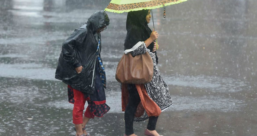
Image Credits – Deccan Herald
Any information taken from here should be credited to Skymet Weather


