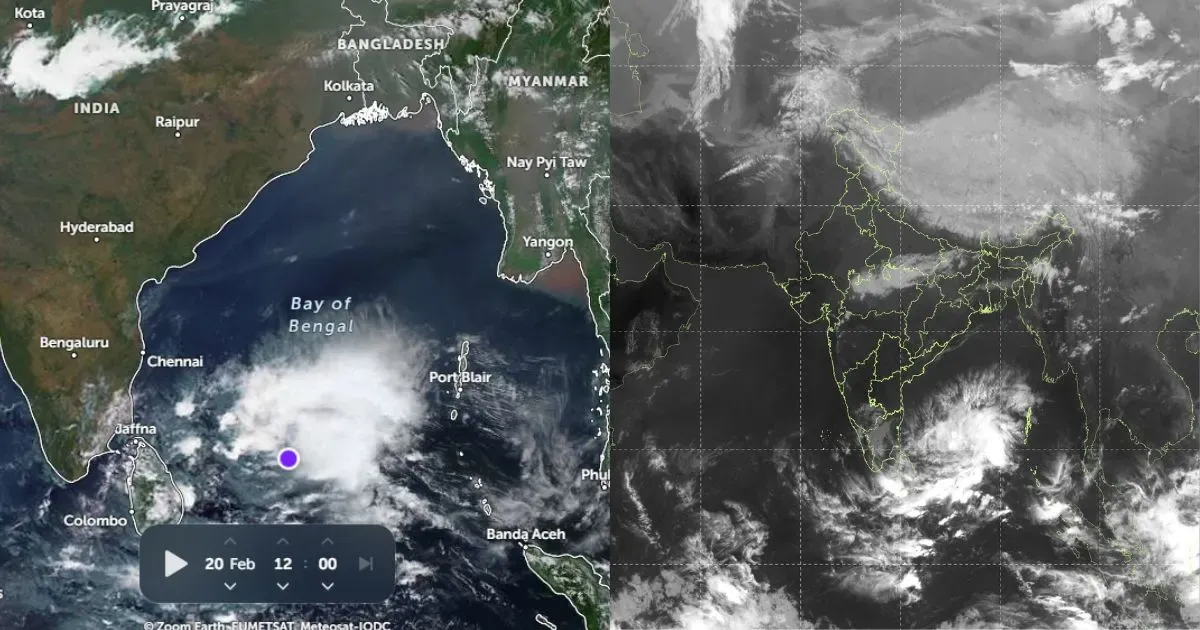
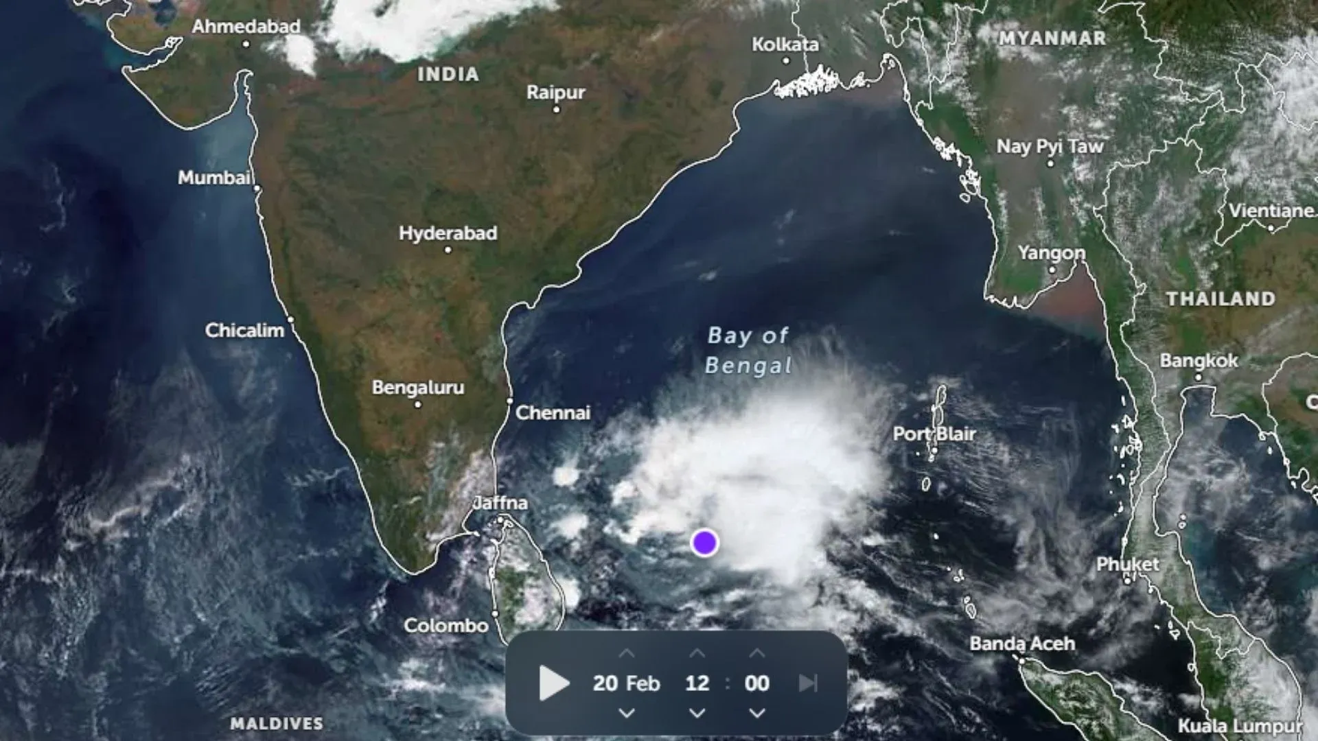
The first week of July has seen some exceptionally heavy rains. The countrywide rainfall deficiency finally came to an end. Currently, the pan-India cumulative rainfall figure stands at 1 percent. On July 4, the country observed the rainiest day of the season with 14.8 mm of rain.
A Super Typhoon Nepartak developed in the Pacific Ocean resulting in torrential rains over Taiwan. Furthermore, the typhoon is expected to hit the China coast giving heavy rains over the region.
Under the influence of a previous depression, several parts of Madhya Pradesh recorded three digit rains for consecutive days. So much so that many areas in the state are reeling under flood like situation.
Meanwhile, South India continues to witness subdued Monsoon activity with very light rain over Interior Peninsular India.
Currently, the excess rain pocket is Madhya Pradesh while highest rainfall deficit is being observed in Gujarat.
Rains are expected to continue over central parts including Maharashtra, Madhya Pradesh and Chhattisgarh. Scattered rain is also likely over East India as well as North India.
Rains are likely to pick up pace over West Coast. Due to the interaction of the moving Western Disturbance and the Monsoon system in Bay, rains are expected over Northern Plains including Delhi-NCR, Haryana and West Uttar Pradesh.
Please Note: Any information picked from here must be attributed to skymetweather.com


