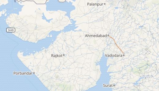
Most of the eastern, central and west coastal regions of the country are witnessing rainfall of varied intensity but good Monsoon rains are yet to show up in Gujarat. Though coastal regions of the state have witnessed rains in the last 24 hours, the interior regions of Gujarat have remained comparatively parched.
Click the image above to see the live lightning and thunderstorm across Gujarat
Within a span of the last 24 hours, from 08:30 am on Sunday, Porbandar recorded 1 mm of rains, while Dwarka witnessed few rainy traces. Districts like Kandla and Surat also recorded a few traces. These rainy spells also resulted in dropping the maximums marginally. But as of now, the almost dry weather is what is stored in for the cultural state of the country.
As per Skymet Weather, a trough is extending from Southwest Rajasthan to South Sindh near the North of Kutch coast. On account of this, isolated rains occurred over parts of the state. However, these rains will now reduce and almost dry weather will take over these rainy spells for the next 24-48 hours. Isolated light rain activity is still a possibility. In fact, Ahmedabad may witness some light traces of rains but heavy spells as of now are not anticipated.
[yuzo_related]
However, the intensity of these rains are likely to pick up pace around June 23 over the southern districts of Gujarat. Partly cloudy to the cloudy sky will prevail and temperatures are expected to fall.
As on June 18, the rainfall deficiency of Gujarat region is 12% while the Saurashtra and Kutch region are 2% rainfall surplus. Both of which are near normal.
Image Credit: twitter
Any information taken from here should be credited to skymetweather.com


