 After almost two weeks there is going to be some weather activity across all the regions of the country. The Western Disturbances will continue to giving rain and snow in the hills for the entire week, while the plains are expected to observe light to moderate rain. Central India, East India and Peninsular India will also receive some rain during the week.
Let’s have a detailed look at the weather across the country.
Weather in North India
A western Disturbance is already giving rain and snow in the higher reaches of the hills, while the lower parts will get affected in next 24 hours. This weather system is also going to give light to moderate rain in the plains by Tuesday Night or Wednesday morning.
By Thursday the intensity will decrease only to pick up again during the weekend. This spell of rain will be widespread and prolonged, of about 3-4 days. The above normal temperatures in the region are expected to come down during this time, providing relief from the warm conditions.
Weather in Central India
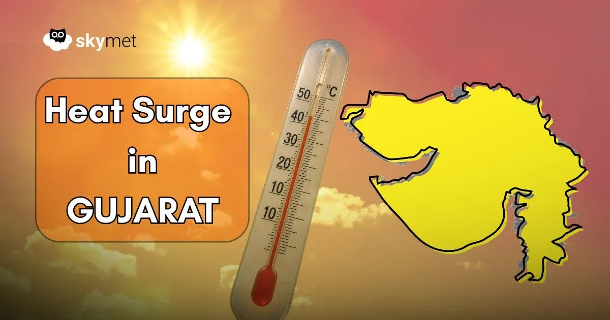
The weather in Central India, particularly in Gujarat is very hot. The day temperatures in the region are settling in the mid-thirties. Maharashtra and Chhattisgarh are also observing above normal temperatures.
During the second half of the week a system in south Pakistan is expected to travel eastward across south Rajasthan and Gujarat giving rain in Central India. The rainfall is likely to bring down the temperatures in the region by a few notches.
East and Northeast India
Northeast India will continue to observe rain throughout the week. During the start of the week the intensity will be light but by Wednesday or Thursday it could be moderate. East India will also observe some good rain on Saturday and Sunday. The day temperatures in East India, Particularly in Bihar are settling in the early thirties which will come down once this spell of rain is observed.
Weather in South India
The passage of Western Disturbance has pushed the anti-cyclonic circulation in Rajasthan and adjoining Madhya Pradesh close to east coast, south Odisha and north Andhra Pradesh. This has caused disruption in wind pattern from easterlies to southerlies/southeasterlies.
The change in wind pattern, which is warm land winds has further heated up the interior parts of the region. However, there is a feeble trough moving across southern peninsula due to which there is rain expected from Thursday onwards.


