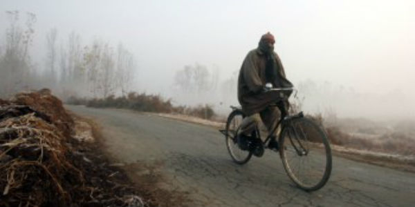
On Thursday morning, dense to very dense fog was witnessed over isolated places of Punjab, Delhi, Haryana, West Madhya Pradesh, Odisha and Tripura.
Similarly, parts of Chandigarh, West Uttar Pradesh, Assam, Meghalaya and Manipur saw dense fog. West Rajasthan too observed moderate fog.
[yuzo_related]
From 05:30 pm yesterday to 05:30 am of today, the lowest visibility was recorded at Amritsar and Palam Observatory in Delhi wherein it dropped to less than 25 meters. Likewise, Hisar, Gwalior, Bhubaneshwar, and Kailashahar also saw visibility less than 50 meters each.
Visibility in Chandigarh, Chandbali, Tezpur, Dibrugarh, Imphal, Ambala and Agra was less than 200 meters, while Sriganganagar, Bareilly, Churu and Puri saw lowest visibility at 500 meters.
As the Western Disturbance has moved away, minimum temperatures have dropped significantly over the most parts of Northwest India and Indo Gangetic plains. To add zing over it, the recent rains across the northwestern plains of the country have increased the humidity levels, leading to build up of fog.
The three factors that are conducive for the formation of fog are low temperatures, high humidity and light winds. Presently all of these conditions are persisting over the plains of North India, Indo Gangetic plains and Northeast India.
Thus, we expect dense fog to persist during late night and early morning hours over the aforementioned regions of the country for the next few days.
Weathermen expect the intensity of fog to again reduce when the next Western Disturbance will approach the Western Himalayas. In wake of this system, the wind pattern will change and night temperatures will escalate.
Until then, be prepared for the snag of poor visibility during morning hours which may hinder road and air traffic.
IMAGE CREDIT: srinagar.nic.in
Any information taken from here should be credited to skymetweather.com


