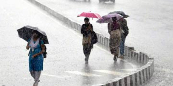
The coastal parts of Odisha and Andhra Pradesh have been receiving moderate to heavy spells of Monsoon rains. Hence, several places such as Visakhapatnam, Balasore, Kakinada, Tirupathi and Dhenkanal have been recording a good amount of rainfall activities.
In a span of last 24 hours from 8:30 am on Sunday,Balasorerecorded moderate rainfall of 87 mm,Dhenkanal32 mm, Tirupathi 14 mm, Angul 12 mm,Koraput11.4 mm, Cuddappah 9.8 mm, Nellore 7 mm,Kakinada5.7 mm, Visakhapatnam 2.6 mm andJharsuguda2 mm.
These weather conditions can be attributed to a cyclonic circulation which is seen persisting over Coastal Odisha and adjoining areas. Therefore, due to this weather system, moderate rain with one or two spells of heavy showers are likely to continue at many places over coastal parts of Odisha.
Further, this cyclonic circulation is likely to move gradually towards West. Thus, Coastal parts of Odisha will witness a decreasing trend in the rainfall activities after 48 hours. Until then, good Monsoon rains are anticipated to continue at many places such as Balasore, Paripada, Ongole, Cuttack and Jharsuguda during the next 24 to 48 hours.
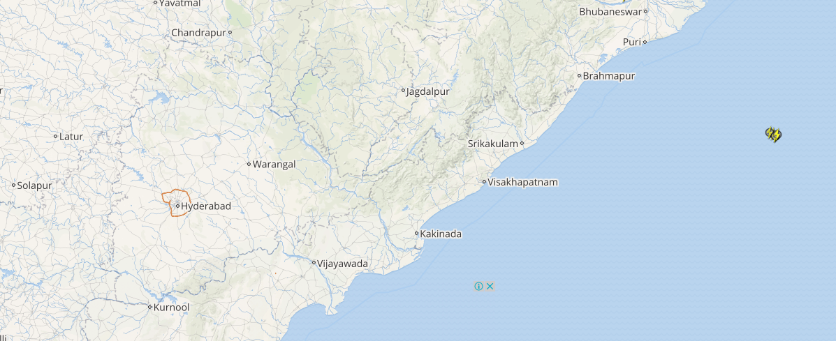
Click here to check the Live Lightning and Thunderstorm status over Odisha and Andhra Pradesh:
Moreover, due to the movement of the weather system, many parts of Coastal Andhra Pradesh will thence observe light to moderate rainfall activities. Particularly, cities like Visakhapatnam, Machilipatnam and Kakinada will continue to see good Monsoon rains.
[yuzo_related]
However, after 48 hours, the intensity of these good Monsoon rains is likely to reduce marginally over both the states.
As on September 17, the sub-divisional rainfall distribution statistics show that Odisha is rain deficient by 11%. Whereas Coastal Andhra Pradesh and Rayalaseema are both rain surplus regions by 21% and 37%, respectively.
Image Credit: NDTV
Any information taken from here should be credited to skymetweather.com


