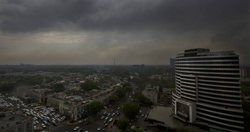
Dust storm and dust raising winds were experienced over some places over western parts of Uttar Pradesh in the last two days. The southeastern parts of Uttar Pradesh also experienced spells of light rain and thundershower during the last 24 hours. The other parts of the states were however running dry and hot.
Presently, a Western Disturbance as an upper air system lies over Jammu and Kashmir. Its associated induced Cyclonic Circulation lies over Punjab and Haryana. Both the systems are moving northeastwards.
Apart from these two systems, the frequencies of Cyclonic Circulations would now be increasing and affecting Northwest plains of the country one after the other in quick succession during the next 4 to 5 days.
Hence, the western parts of Uttar Pradesh will be gripped in dust storm and dust raising winds. Light spells of thundershower cannot be ruled out during the same period.
Due to these weather conditions, the day temperatures are set to increase further due to the persisting cloud cover. Night temperatures would remain comfortable, however.
Due to dust in suspension, the pollution level will remain in ‘poor’ category throughout.
The eastern parts of Uttar Pradesh on the other hand, will remain mostly dry and very warm during this period.
Image Credits– Tourism News Live
Any information taken from here should be credited to Skymet Weather


