Upcoming Low Pressure Area to revive Monsoon rains over Central, East and Northwest India

July 24, 2019 4:56 PM|

Low Pressure Area in Bay

Monsoon systems in the form of Low-Pressure Areas as well as Depressions are the major harbingers of Monsoon in the country. Normally, these systems come up in Bay of Bengal originating on the eastern end of Monsoon Trough and then moving inland. This is the reason why the rain belt keeps shifting with the oscillation of Monsoon Trough.

One such weather system is coming up in the Bay of Bengal in the form of a Low-Pressure Area on July 26. Initially, as a precursor, a Cyclonic Circulation is expected to form over coastal parts of Bangladesh during the next 24 hours. Thereafter in the further 24 hours, the Monsoon system will get more organized and take form of a Low-Pressure Area over Northwest Bay of Bengal and adjoining parts ofWest Bengaland Odisha.

This system will then start its inland journey in west direction. The system is supposed to take a four-day journey while covering the states ofChhattisgarh,Madhya Pradesh, Rajasthan, Gujarat and then finally crossing over the border to Pakistan. The rain belt will keep shifting along with the system.

The system is likely to give active Monsoon conditions all over the country starting from Bihar, Chhattisgarh, Madhya Pradesh, Maharashtra and even Telangana. Thus, good rains are being forecast for East, Central and Northwest parts of the country. Rains are also likely to pick up even along the West Coast of the country, starting from Konkan and Goa and northern parts of Coastal Karnataka.

By the time it reachesGujarat,another system will trail along around July 30 and is expected to follow an almost same track.

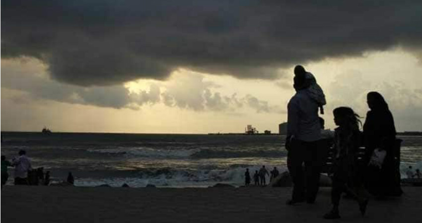
Image Credits– ndtv.com

Any information taken from here should be credited to Skymet Weather

Similar Articles

thumbnail image
March 20, Today Marks The Spring Equinox: Day-Night Duration Nearly Equal

The official transition from winter to spring, known as the SPRING EQUINOX, occurs today! It’s time when the Sun crosses the celestial equator precisely at 2:31 PM, delivering warmer, longer days to the Northern HemiSphere. As autumn arrives, the South enjoys colder evenings.

posted on:
thumbnail image
आज सूर्य करेगा भूमध्य रेखा पार, बसंत ऋतु की शुरुआत, दिन-रात की अवधि लगभग बराबर

आज, 20 मार्च 2025, बसंत विषुव (Spring Equinox 2025) का दिन है। सूर्य भूमध्य रेखा को पार करेगा, दिन बड़े और गर्म होंगे। उत्तर गोलार्ध में बसंत ऋतु की शुरुआत होगी, दक्षिण गोलार्ध में शरद ऋतु का आगमन होगा। वहीं, सितंबर में यह खगोलीय घटना फिर से होगी।

posted on:
thumbnail image
गर्मी का दायरा बढ़ा! ओडिशा, महाराष्ट्र, तेलंगाना और रायलसीमा में 40°C के पार तापमान, राहत की उम्मीद

देश में समय से पहले गर्मी असर बढ़ रहा है। ओडिशा, महाराष्ट्र, तेलंगाना, आंध्र प्रदेश में अभी तापमान से 40°C से ऊपर पहुंच गया है, जिस कारण इन राज्यों में भीषण गर्मी हो रही है। फरवरी 2025, पिछले 125 वर्षों में सबसे गर्म महीना रहा है। कई जगहों पर सामान्य से 6.4°C तक ज्यादा तापमान रिकॉर्ड हुआ है।

posted on:
thumbnail image
दिल्ली में बढ़ेगी गर्मी! शुष्क और तपता रहेगा वीकेंड, बारिश की संभावना हुई कम

दिल्ली में गर्मी बढ़ रही है, पिछले 3 दिनों में तापमान 4°C बढ़ा है। आज अधिकतम 34-35°C, न्यूनतम 17°C तक रह सकता है। मार्च अब तक लगभग शुष्क बना हुआ है, सिर्फ 2mm बारिश दर्ज हुई है। 26-28 मार्च को तापमान 40°C के करीब पहुंचने की संभावना है। वहीं,पश्चिमी विक्षोभ से मैदानी इलाकों में बारिश की संभावना नहीं है।

posted on: