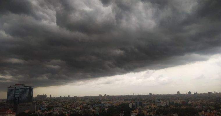
There are two low-pressure areas marked at the opposite ends of the country. A low-pressure area is lying over the East-Central Arabian Sea, off the Maharashtra coast, deep over the ocean. The cyclonic circulation is marked up to mid-tropospheric levels. On the other end, a low-pressure area was lingering over Bangladesh and Gangetic West Bengal for the last 4-5 days. This was the system which deluged the state of Tripura, resulting in loss of life and material. This low pressure has finally vacated Bangladesh and is now marked over northern parts of West Bengal and the neighbouring eastern region. It is likely to move westward across the states of Jharkhand, Chhattisgarh and Madhya Pradesh over the next 2 days. Further, this system will reach the farthermost parts of Gujarat and cross over to the Arabian Sea, by mid-week next.
The weather system in the Arabian Sea will weaken, over the ocean itself, in the next 24 hours. However, it is likely to accentuate the monsoon activity all along the Konkan Coast, including Mumbai in the next 24 hours. The other low-pressure area over West Bengal and Jharkhand will travel across Madhya Pradesh, Rajasthan and Gujarat before it dips into the Arabian Sea. Active to vigorous monsoon conditions are likely over the eastern and central parts between 23rd and 25th August. This phase will cover the states of West Bengal, Bihar, Jharkhand and Madhya Pradesh. At the end of this period, parts of Southeast Rajasthan and North Madhya Maharashtra will also witness intense weather activity.
The state of Gujarat will be covered extensively by this weather system between 26th and 28th August 2024. The inclement weather activity will start with the interiors of central and north Gujarat and travel to cover the entire Saurashtra and Kutch the next day, on 27th Aug. Although, the low pressure will move to the northeast Arabian Sea on 28thAug, the peripheral will still impact westernmost parts of Saurashtra & Kutch, on that day. The weather activity will generally become light over the entire state on the remaining days of the month.
By the time, this system completes its life cycle, another powerful system is expected to form in the Bay of Bengal. The intensity and the course of this system will be tracked and updated, sometime early next week.
Image Courtesy: The Bengal Story


