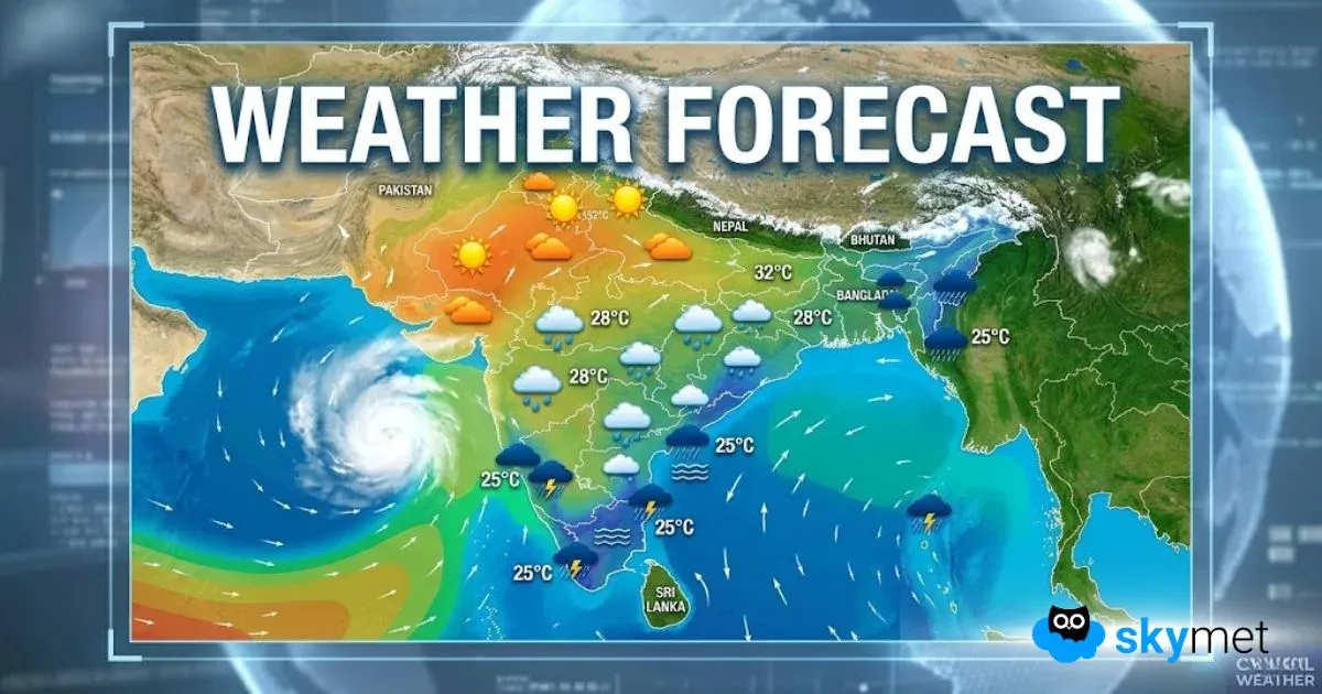
The Intertropical Convergence Zone (ITCZ) is active at present and extends on either side of the equator. It is also the reason why Sri Lanka and South India have been receiving good rains for the last few days.
As a pattern, the weather systems developing around the equator, generally degenerate over time and seldom turn out as Cyclones. However, one of the two systems, developing in the region might turn into a potential Cyclone.
Most of the systems developing in the Arabian Sea usually have the countries of Somalia, Yemen or Oman as their targets.
Whatever systems develop in the region usually traverse poleward in their respective area of origin. For instance, if a system develops in the Northern hemisphere it will travel further Northwards and not Southwards.
The extreme southwest parts of the Arabian Sea bordering east of Somalia, Seychelles and Madagascar are very active at present. A total of two Low-Pressure Areas are affecting the region at present.
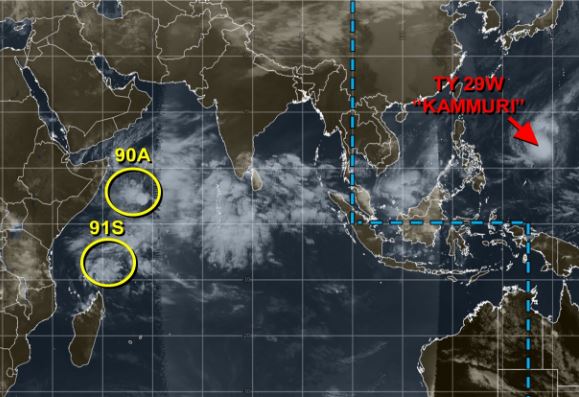
A Low-Pressure Area is prevailing deep in the sea, about a 1000 km east off Somalia coast. Its exact location is 3°N and 56°E. the system is persisting over almost the same location for the last 16 hours. The system has a tendency of shifting towards Somalia, causing rains over the country. As is typical of the systems developing over the region, this Low-Pressure Area is less likely to intensify any further while maintaining its intensity for the next 48 hours. Any chance of developing into a Cyclone is very less.
Another similar Low-Pressure Area is aligned at 7°S and 54°E, close to Seychelles about 300 km South-southwest off Mahi. This one is a little more marked than the previous one and might move further towards Madagascar. Unlike, the previous Low Pressure, this one is showing signs of growing and becoming a potential cyclone in the next 3 to 4 days and affect Madagascar.
As a positive none of these systems are consequential for India, and the country is safe from their effect as these are located far in the West.
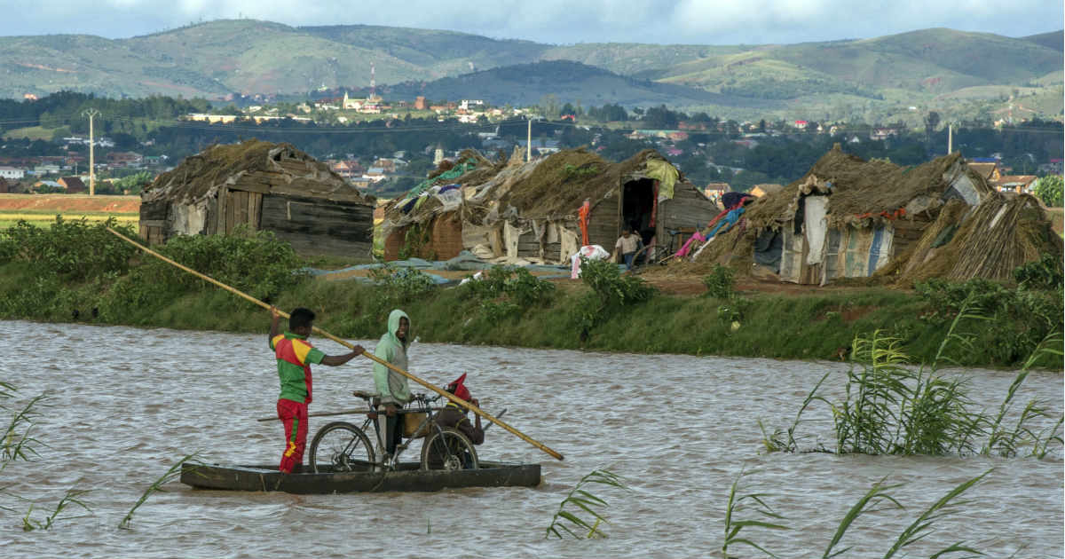
Image Credits– Voice of America
Any information taken from here should be credited to Skymet Weather


