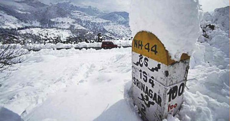
Entire Kashmir valley was pounded by heavy snow during last week. This spell intensified further the harshness of Chillai Kalan which entered its 2nd half commencing this week. Jammu&Kashmir and Ladakh has received large excess of rain and snow in the 1st week of January. Between 01stand 11th Jan2022, the sub division has received 128.1mm against the normal of 21.1mm, an excess of 507%.
The excruciating cold conditions have been sweeping the entire Kashmir Valley. Sub zero temperatures are being witnessed incessantly since December 2021. Gulmarg and Pahalgam have registered the lowest of -11.5°C and -11.6°C respectively. Kukernag, Qazigund and Kupwara stay close with -7.2°C, -5.3°C and -5.5°C respectively. Capital city Srinagar, which had earlier plunged to 6° below freeze is marginally better at -3.6°C.
The valley can enjoy better weather conditions, albeit continuing with freeze and chill, for the next 3 days. A pair of western disturbance will arrive between 16-17Jan and 18-19Jan 2022. Both these weather systems are not strong enough to lay sheet of white blanket everywhere, but still good to cause rain and snow in the mid and higher reaches. The 3rd system in a row is likely to reach by 21stJan. This will relatively be a stronger system, in terms of spread, intensity and duration.
Passage of series of western disturbances, with short breaks in between will spike the already fierce and harsh ‘Chillai Kalan’. Any snow at this time lasts longer and replenishes the reservoirs, rivers, streams and lakes. Chillai Kalan, the longest harsh episode of 40days, is followed by Chillai Khurd, from 30thJan to 18thFeb. The last in the league of biting winters is Chillai Bachha between 19thFeb and 28thFeb. However, any snowfall during 2nd half of February does not have long shelf life and melts soon enough to replenish the water bodies.


