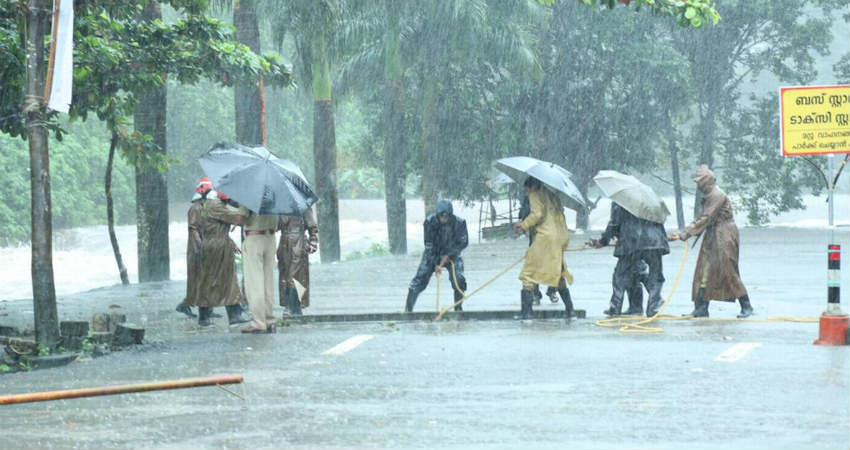
Heavy to very heavy Monsoon rains have been continuously lashing the state of Kerala for the last 48 hours and is now on Red alert. These weather conditions are occurring due to the presence of an off-shore Trough which is extending from Karnataka to Kerala. Simultaneously, the Cyclonic Circulation is persisting over North Kerala at upper-tropospheric levels.
Till now,Kannur has recorded a whopping 218.6 mm of rains, Kozhikode 105.4 mm, Punalur 66.4 mm, Kochi 45.6 mm, and Alappuzha 54.2 mm of rains.
The experts at Skymet Weather have to say that these heavy to very heavy rains over Kerala will continue during the next three to four days as the above-mentioned weather systems would continue to persist.
Day temperature during the weather activities will remain between twenty-five to twenty-eight degrees. Sky condition will be overcast with thick clouding. The moist conditions would increase continuously which might create uncomfortable conditions. In view of the cropping system, these rains are very helpful especially for the coconut and the palm trees. While the paddy crops might get damaged due to excessive heavy flow of water or inundation.
As we mentioned earlier as well, places likeKasargod, Idukki, Kannur, Kozhikode, Wayanad need to be watched out and they are the places which would witness the severity of rain.
Already, in Idukki, consecutiveRed Alertshave been issued and one shutter of the Kallarkutty Dam has been opened, following heavy rains in the catchment area. In many areas, rafts had to be used for commuting after roads were flooded with rainwater.
Image Credit: The Hindu
Please Note: Any information picked from here must be attributed to skymetweather.com