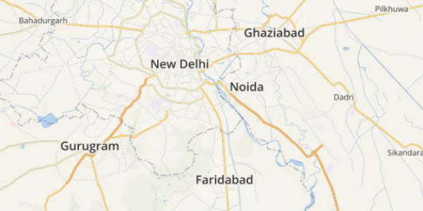
Many areas of northwestern plains of the country received rain and thundershowers on February 12 and 13. The impact of this weather was felt over Delhi and NCR in terms of cloudy weather, cold winds and drop in temperatures.
Thus, rains escaped Delhi, and the city continued to remain dry. It is due to the continuous dry weather that both the day and night temperatures are constantly rising and settling beyond the normal levels.
Yesterday, the Safdarjung Observatory recorded the maximum temperature at 26.9°C which was 2 degrees above normal. Meanwhile, the daytime high recorded by Palam Observatory was 3 notches beyond normal at 28°C.
[yuzo_related]
Delhi’s monthly rainfall statistics states that the city on an average record 22.1 mm in February. So far, the national capital has remained parched. However, Skymet Weather now predicts a rainy weekend for Delhi and the adjoining Noida, Gurugram, Faridabad, and Ghaziabad.
Click here to get the live lightning and thunderstorm status across Delhi NCR
As per the weathermen at Skymet Weather, a trough is expected to develop over Central Pakistan and adjoining North Rajasthan. Due to its effect, an isolated thunderstorm is likely over Delhi and NCR along with partly cloudy sky tomorrow.
Due to these isolated thunderstorms, the minimum temperatures are likely to rise further. However, as the activity is expected to be short-lived, highly localized, with very bleak possibilities, the maximum temperatures would not witness much change.
By February 22, the weather would once again become clear and the temperatures may witness a marginal rise. Thereafter, on February 23, another Western Disturbance is expected to affect the Western Himalayan region. This would induce a cyclonic circulation over North Rajasthan, thereby resulting in rain and thundershowers over Delhi and NCR around February 24.
Image Credit: Instagram (gurlwithkamera)
Any information taken from here should be credited to skymetweather.com


