The national capital witnessed thunderstorms and dust-raising activity in some parts, yesterday. Both the observatories, Safdarjung and Palam, observed such conditions in the afternoon. However, no rainfall was recorded at any of the observatories in this region. Conditions remain favourable for similar activity for the next three days. Light rain may also accompany in some areas. The showers, if any, will not suffice to provide relief from the heat and humidity.
The western disturbance continues to persist over Jammu & Kashmir, supported by cyclonic circulation. Another cyclonic circulation is lying over central Pakistan and border areas. Yet another weak circulation is marked over parts of Punjab and Haryana. An east-west trough continues to pass through these two circulations and runs north of Delhi, in close proximity. Plains of North India have recorded temperatures in excess of 40°C across the region. Delhi recorded a maximum of 43.8°C, about 4°C above the normal. Some stations like Rohtak, Churu and Ganganagar breached the 45°C mark. It means that the heat trigger is available to build up tall clouds and set going the thunderstorm and dust storm activity over the region.
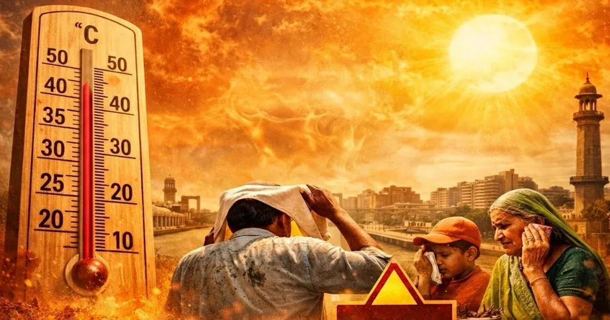
Delhi is likely to record day temperature of about 43°-44°C during the next three days. The weather activity will get over around the weekend. Hot sun and ‘loo’ conditions may follow. The temperature may once again reach or cross 45°mark, commencing Saturday, 08thJune and go on for the next 5-6 days. Heatwave conditions are likely to build up across Delhi/NCR. The next week may as well prove a ‘sizzler’ for Delhiites.


