The entire northwestern plains are experiencing warm days and sunny sky conditions. It seems that winters are on the verge of concluding. The increased maximums and minimums over the northwestern plains are inching the summers in.
[yuzo_related]
A Western Disturbance is seen over Jammu and Kashmir as an upper air system. A low-level cyclonic circulation can also be marked over extreme Northwest Rajasthan and adjoining Pakistan.
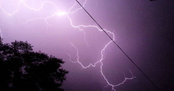
Mainly dry and warm weather is expected to prevail over most parts of Northwestern plains of the country. However, the extreme parts of North Punjab may receive rain and thundershower activity at a few places during the next 24 hours. However, these short spells of rain and thundershower activity would be highly localized.
Stations like Amritsar, Pathankot, Ludhiana, Hoshiarpur, Muktsar, and Bathinda in Punjab are likely to observe rain and thundershower activity. Due to the fact that these rains would be short-lived, they would not have much influence on the temperature profile.
In fact, thundercloud development or thunderstorm activity is also possible at isolated places in the remaining parts of Punjab, extreme North Rajasthan, Haryana, Delhi and adjoining West Uttar Pradesh.
Places such as Sri Ganganagar and Hanumangarh in Rajasthan, Sirsa, and Fatehabad in Haryana area also expected to come under the radar of thunderstorm activity.
The day temperatures are also anticipated to continue to settle above normal over the northwestern plains. In fact, the minimums are also likely to rise. As per weathermen, smoke haze will also prevail over the region.
IMAGE CREDIT: Sky.com
Any information taken from here should be credited to skymetweather.com


