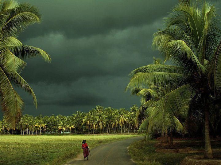
The onset date of ‘Southwest Monsoon-2024’ over Kerala this year is expected on 01stJune with an error margin of +/- 3 days. For onset date, in addition to the global parameters like temperatures, winds and OLR over different regions, the likely conditions in the Indian Seas play a significant role.
Unlike last year, there is no active cyclone around the globe, more so in the Southern Hemisphere abeam Peninsular India, to detract monsoon. The only ‘invest’ area is far to the west, near Madagascar, unlikely to have any impact. However, the central parts of the Arabian Sea continue to host an anticyclone in the lower levels of the atmosphere. This feature acts as a deterrent for the smooth streaming of monsoon flow from the Arabian Sea to the West Coast. However, this anticyclone is likely to get softened and finally get subsumed in the large-scale monsoon circulation, during the last week of May.
Under the influence of the enhanced phase of ‘Madden-Julian Oscillation’ (MJO), propagating eastward from the Indian Ocean, potentially with moderate amplitude, conditions are becoming favourable for cyclogenesis in the Bay of Bengal, through the end of May. This weather system may struggle to intensify but will be strong enough to pull the monsoon stream, across the equator, all along the Kerala-Karnatakacoast.
The mainland onset of monsoon has a standard deviation of seven days. In the last 10 years, the earliest arrival was on 29thMay in 2018 and 2022 and the most delayed onset on 08thJune in 2019 and 2023. The CFS-based weather models suggest strengthening of cross-equatorial flow and sea conditions supportive of a strong monsoon surge around 01stJune 2024. A margin of error of +/- 3 days is quite normal for the commencement of weather activity along and off the Kerala-Karnataka coast. Prior to the onset of 01stJune, hefty pre-monsoon thundershowers are expected over Lakshadweep,Keralaand Coastal Karnataka.
Click to see the live lightning and thunderstorms across India
Image credit: Pinterest


