The Sub-Himalayan West Bengal and Sikkim is a small yet one of therainiest pockets during the Monsoonseason. Sub-Himalayan West Bengal comprises of mountains and foothills. The normal rainfall in Sub-Himalayan West Bengal and Sikkim is more than the other rainiest pockets like Assam and Meghalaya.
At present, a Trough from Central Pakistan and adjoining Punjab is extending up to Nagaland across North Haryana, North Uttar Pradesh, Centre of Low-Pressure Area ( northeast and adjoining Bihar), North Bihar, Sub-Himalayan West Bengal, and Sikkim and Assam.
Active to Vigorous Monsoon conditions are prevailing over Northeast India since the last many days. Assam, Meghalaya and Arunachal Pradesh, in particular, have been receiving heavy to very heavy rains.
The average rainfall during the Monsoon season for Sub-Himalayan West Bengal and Sikkim is around 2006 mm. It is more than the seasonal rainfall of Assam, Meghalaya and Arunachal Pradesh, wherein the Monsoon average rainfall for these pockets is less than 1800 mm.
During Monsoon, it rains the heaviest in Coastal Karnataka which is followed by Konkan and Goa, Kerala, Sub-Himalayan West Bengal, and Sikkim, Assam and Meghalaya, Arunachal Pradesh and then Nagaland, Manipur, Mizoram, and Tripura.
At the time of Monsoon, this pocket has a different pattern that is duringActive Monsoon, it rains the least over here. However, during Break Monsoon, this pocket gets drenched like anything and this is what we are witnessing at present.
Hasimara in West Bengalrecords hefty rains during this period as well. The monthly average of this place exceeds 1000 mm for the months of July and August.For the next four days, torrential rains would continue over the region and these rains will only subside when any system would build up in the Bay of Bengal.
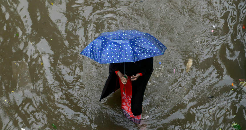
Image Credit: Quint India
Please Note: Any information picked from here must be attributed to skymetweather.com


