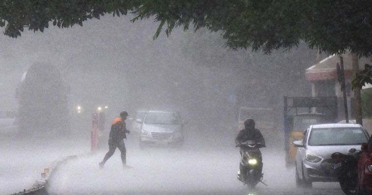
Meteorological conditions are building up for vigorous monsoon activity over the northern plains. Some parts of Punjab, Haryana, Chandigarh, Delhi, and West Uttar Pradesh will witness heavy weather accompanied by stormy conditions. The intense weather spell may spill over and reach northeast Rajasthan and lower hills of Jammu & Kashmir, Himachal Pradesh and Uttarakhand. The intensity and spread of weather will be large on 31st July and 01st August and gradually become smaller and weaker, thereafter.
Seasonal monsoon trough, the main driver of weather activity over the northern plains is currently lying south of its normal position. Accordingly, the monsoon activity will be scanty and light, today. Under the influence of passing western disturbance, this will shift northward and carry the weather belt along with it. The displaced trough will run in the proximity of the foothills, slightly north of its normal position. Under the combined influence of western disturbance and elongated monsoon troughs, many parts of the northern plains will be struck with inclement weather conditions.
Punjab, Haryana, Chandigarh and some parts of Delhi have been rain deficit this season. The current spell will address the shortfall, albeit partially. The locations at risk of heavy weather will include: Pathankot, Gurdaspur, Amritsar, Jalandhar, Hoshiyarpur, Ludhiana, Patiala in Punjab: Sirsa, Fatehabad, Jind, Kaithal, Hisar, Karnal, Ambala in Haryana: Delhi/ NCR, Chandigarh: Bulandshahr, Muzaffarnagar, Meerut, Aligarh, Agra, Mathura, Moradabad, Hapur, Rampur, Pilibhit in Uttar Pradesh. The adjoining and contiguous parts of these districts, in the respective states, will also be at risk of getting lashed with heavy rainfall.
Image Credit: Business Today


