The monsoon season in India has seen a slow start, with deficiencies in rainfall across most regions. However, there's good news on the horizon. As of June 24th, the national deficit sits at 18%, with variations across the country. East and Northeast India are deficient by 16%, while the situation is more concerning in Northwest India with a staggering 56% deficit. Central India faces a 22% shortfall, while the southern Peninsula enjoys a surplus of 10%.
The coming days, however, bring hope for a significant improvement. Weather conditions are becoming increasingly favourable for the monsoon to advance across several key regions. Bihar, Jharkhand, West Bengal, Odisha, Chhattisgarh, Madhya Pradesh, and parts of Uttar Pradesh can expect the arrival of the monsoon within the next two days.
This positive development is fueled by a combination of weather systems. A cyclonic circulation over central Pakistan and adjoining Punjab, along with another over East Uttar Pradesh, will provide the necessary push for the monsoon's progress. Additionally, a trough extending from Punjab to Northeast India will further aid the movement of the monsoon rains.
The impact of these systems won't be limited to just the monsoon's advancement. We can expect a significant increase in rainfall intensity over Chhattisgarh and Madhya Pradesh. Similarly, a cyclonic circulation over the Northeast Arabian Sea will enhance rainfall activity over Konkan and Goa, Gujarat, and Southeast Rajasthan.
The good news continues with widespread rainfall expected over Uttar Pradesh and Uttarakhand by June 27th. Delhi and surrounding areas can also anticipate increased rain activity starting June 28th, with the official monsoon onset over the capital likely happening sometime after that date.
In conclusion, the next 3-4 days hold the promise of swift progress for the monsoon. This advancement has the potential to transform the rainfall scenario across a large part of the country. We can expect a reduction in the current rain deficit by the end of June, bringing much-needed relief to drought-stricken areas.
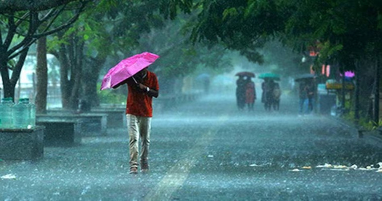
Image Credit: www.prabhatkhabar.com
Click to see the live lightning and thunderstorms across India
Download our app to get real-time updates with just one click


