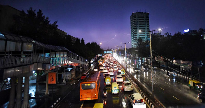
Southwest Monsoon is likely to reach northern parts ahead of schedule and announce forceful arrival soon. Next week could be a thrill bringing monsoon fragrance covering entire Gangetic Plains and the hilly landscape of Uttarakhand.
Southwest Monsoon is mapping its journey speedily and has covered 2/3rd of the country in 15 days. This possibly is one the fastest travel on record. Despite the initial hiccups, the steady pace thereafter gained mileage and nearly went supersonic to travel from the easternmost Nagaland to the hinterland of Uttar Pradesh in just about 6 days. This was courtesy the first monsoon low pressure in the Bay of Bengal which is still hanging around, after recurvature, as a cyclonic circulation over East Uttar Pradesh and Bihar. This weather system is not yet over and done.
Existing cyclonic circulation is showing signs of reorganizing while positioned over the eastern states of Bihar, Jharkhand, and West Bengal. Southerly winds from the Bay of Bengal will infuse enough moisture to grow its stature and possibly become in-situ low pressure on 20th June over Jharkhand and North Chhattisgarh and adjacent parts of Odisha and West Bengal. This weather system is likely to travel across the central parts right up to North Madhya Pradesh and West Uttar Pradesh. Rains are likely to commence around 24th and last till 28th June to usher monsoon showers over North Madhya Pradesh, Delhi, West Uttar Pradesh, and Uttarakhand.
This wet spell will bring monsoon closer to its last leg over Rajasthan and Kutch. Hereafter both the branches of monsoon: Arabian Sea and Bay of Bengal work in tandem and complete the journey with the help of western disturbance waiting in the wings across the northern hills.


