TheSouthwest Monsoon has set in over Kerala, today, June 8, 2019. Conditions are favourable for further advance of Southwest Monsoon into remaining parts of the South Arabian Sea, Lakshadweep area and Kerala, some more parts ofTamilnadu, southwest, southeast, eastcentral and northeast Bay of Bengaland some parts of the central Arabian Sea and westcentral Bay of Bengal during next 48 hours.
Conditions are also becoming favourable for the advance of southwest monsoon into some parts of Northeastern states during the same period. The pre-Monsoon showers are continuing over most parts of the northeastern states with moderate spells at many places with isolated heavy showers.
Presently, a Cyclonic Circulation lies over North Assam and adjoining Arunachal Pradesh. Along with this, southerly moderate winds are also reaching the southern parts of Meghalaya, Arunachal Pradesh, Mizoram. These winds are likely to strengthen during the next 24 hours.
In the past 24 hours, Golaghat, Tezpur and Dhubri witnessed 2 mm of rains. While Imphal and Majbat recorded 6 mm of rains. Pasighat recorded the maximum rainfall of 30 mm followed by Dibrugarh which recorded 26 mm of rains.
As per the present system, pre-Monsoon showers would continue with moderate to heavy spells in some parts of Assam, Meghalaya, Arunachal Pradesh, Nagaland and few places of Tripura, Manipur, and Mizoram. The experts have to say that the activity is expected to persist for another 24 hours over the region.
The normal onset date of Monsoon to step in southern parts of Northeast India is June 1 and by June 5 it covers most parts of Northeast India. The onset has been already delayed in Keralaby almost a week this time. Thus, delay in Northeast India follows.
If we look at the records, then we can say that Northeast India till date in the Monsoon season is a deficit. As of now, Arunachal Pradesh has received 14.6 mm of rains against 89.1 mm. While Assam and Meghalaya are short by 39%.
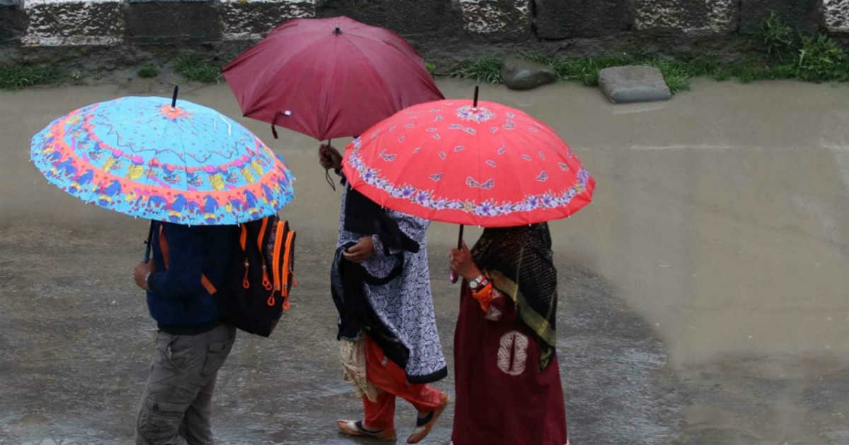
Image Credit: The Weather Channel
Please Note: Any information picked from here must be attributed to skymetweather.com


