
As predicted by Skymet Weather, Southwest Monsoon 2019 made a weak onset over Kerala on June 8. The normal date of arrival of Monsoon in Kerala is June 1. The Northern Limit of Monsoon (NLM) is currently passing through Latitude 11°N/ Longitude 60°E, Latitude 11°N/ Longitude 70°E, Amini Divi, Kochi, Madurai, Latitude 11°N/ Longitude 86°E, Latitude 16°N/ Longitude 91°E, and Latitude 20°N/ Longitude 94°E.
In absence of any significant weather system, the coastal state saw record low pre-Monsoon rainfall this year. Situation remained grim till the last week of May, finally resulting in the delay of the onset of Monsoon over Kerala.
We saw situation changing only around June 4, when a cyclonic circulation started forming in Southeast Arabian Sea and adjoining Lakshadweep Islands. This system then led to turn of winds into westerlies, which till then had been blowing along the coast and are not instrumental in giving rainfall.
This was the reason behind the absence of the famous Kerala. Although rains did pick up some pace with the beginning of June, but these showers were not able to match the criterion of rainfall for declaring the onset.
As per the guideline 60% of the enlisted 14 stations in Kerala, Lakshadweep Islands and Coastal Karnataka have to record rainfall for two consecutive days to the tune of 2.5 mm each.
It was only on June 6 and 7, when rains had increased and managed to fulfill the required Monsoon.
As the cyclonic circulation got more marked, other criteria of OLR and wind field also got aligned. As per Skymet Weather, situation had been favourable for the arrival of Monsoon over Kerala on June 7 itself.
Progress of Monsoon 2019 ahead
After the weak onset, another major problem that lies ahead is the slow progress of Monsoon 2019. Weather models are not predicting a rosy picture ahead, as we expect Monsoon to go silent in the coming days.
According to weathermen, the above mentioned cyclonic circulation is boon as well as a bane for Indian Monsoon. After being responsible for bring the Monsoon in Kerala, it would now be responsible for slow advancement.
The cyclonic circulation is getting more organised and is likely to induce a low pressure area any time now over Southeast Arabian Sea and Lakshadweep Islands. As the system gets more marked, it would take away all the moisture from the nearby areas. With moist winds concentrating around the system, rains would reduce significantly over Kerala. In fact, as per the data as on June 8, rains in Kerala have already reduced.
However, with the presence of Monsoon surge, we can expect some rains to go on over the state. As reiterated earlier, if the Monsoon surge is strong, it surpasses all the system and gives bountiful rains. However, this has not been the case so far.
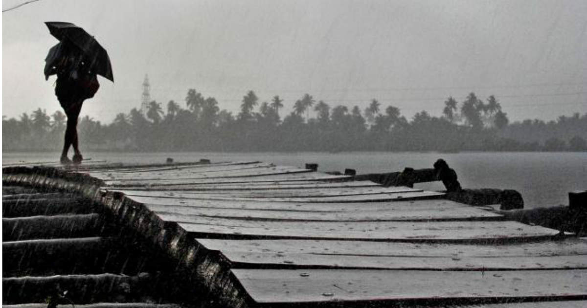
Image Credit: TOI
Any information taken from here should be credited to skymetweather.com
