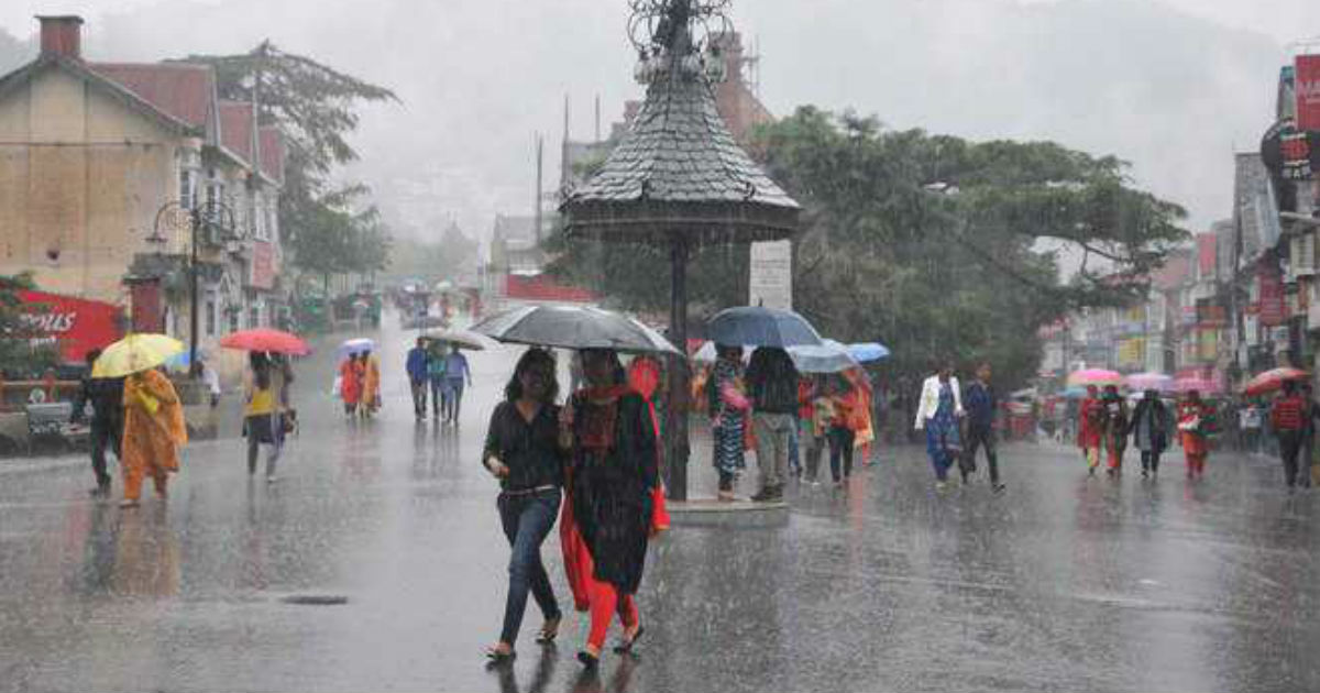
Complete range of mountains in the north will witness snowfall for the entire week. Jammu& Kashmir, Ladakh, Himachal Pradesh and Uttarakhand will experience the longest spell of the season commencing today and last till month end. It may spill over further for first few days of March in the mid and higher reaches of Jammu & Kashmir. Bigger share will be consumed by Jammu & Kashmir and least over the state of Uttarakhand. Rain and snow will be intense between 24th and 26thFebruary.
While Srinagar, Qazi Gund, Banihal and Vaishno Devi shrine may experience intermittent rain, popular resorts of Gulmarg, Pahalgam and Anantnag are likely to witness moderate snowfall. Mountain peaks and passes like Khardung La, Chang La and Taglang La located at nearly 18,000 feet height will be snowed out for the week and may be later also. Most favored destinations of Himachal Pradesh like Manali, Keylong and Spiti are expected to be covered with a blanket of snow. The snowfall in Uttarakhand may get restricted to higher reaches of the state.
The complete range of northern hills is facing a large deficiency of snow this winter season. Between 01stJan and 21stFeb, Jammu&Kashmir, Himachal Pradesh and Uttarakhand have observed a shortfall of 48%, 68% and 54% respectively. This extended spell for this region may shrink these margins and also cover the valleys and peaks with much needed snow.
The plains of Punjab, Haryana and West Uttar Pradesh may experience light rainfall limited to the foothills only. Deep and interior parts are likely to have partly cloudy sky with fog and mist on all these days. Light rainfall is expected over Jammu, Kathua, Samba, Pathankot, Jalandhar, Amritsar, Chandigarh, Ambala and Panchkula. Delhi/NCR is not likely to have any rainfall during the week. While the minimum temperatures could marginally rise but hike in the day temperature will get arrested.
Image Credit: Tribune India
Note: Any information taken from here should be credited to Skymet Weather


